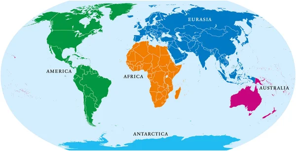
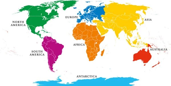
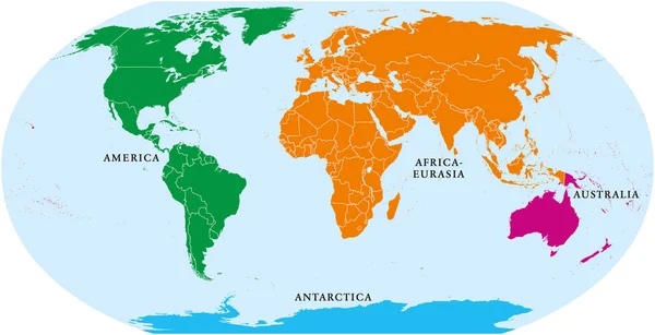
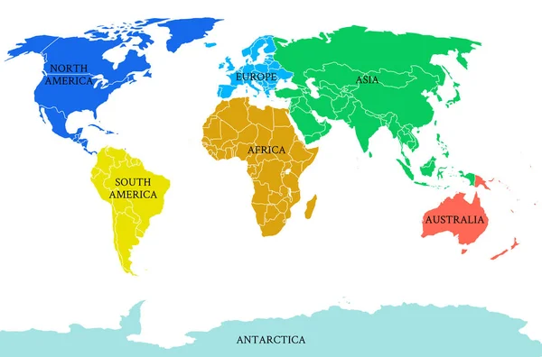
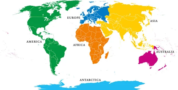
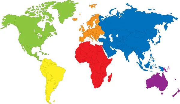
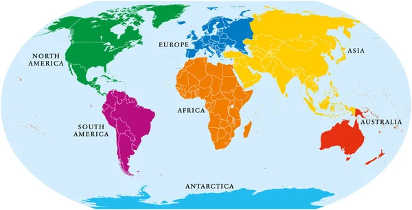
Stock vector Seven Continents World Map
Published: Jun.22, 2016 17:20:37
Author: Furian
Views: 15108
Downloads: 14
File type: vector / eps
File size: 3.99 MB
Orginal size: 9000 x 4620 px
Available sizes:
Level: silver