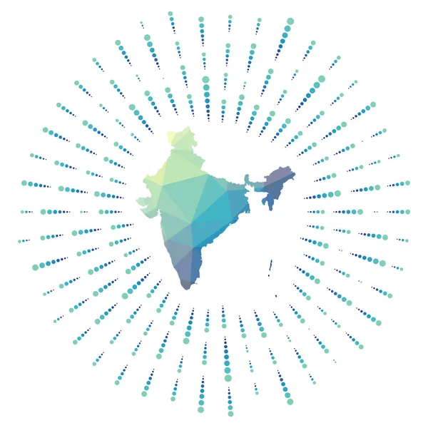
Stock vector Shape of India polygonal sunburst Map of the country with colorful star rays India illustration
Published: Sep.18, 2020 08:07:53
Author: gagarych
Views: 1
Downloads: 0
File type: vector / eps
File size: 0.55 MB
Orginal size: 5488 x 5488 px
Available sizes:
Level: bronze
Similar stock vectors
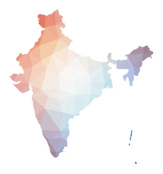
Map Of India Low Poly Illustration Of The Country Geometric Design With Stripes Technology
5319 × 5645
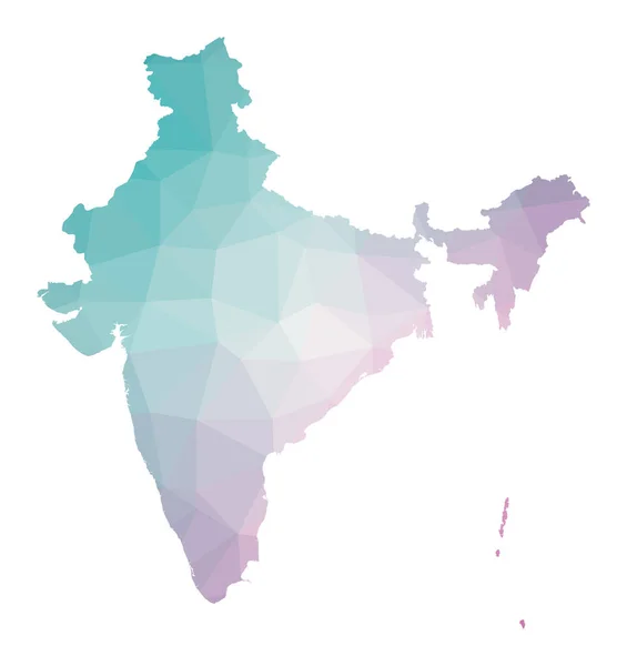
Polygonal Map Of India Geometric Illustration Of The Country In Emerald Amethyst Colors India Map
6089 × 6463