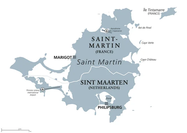
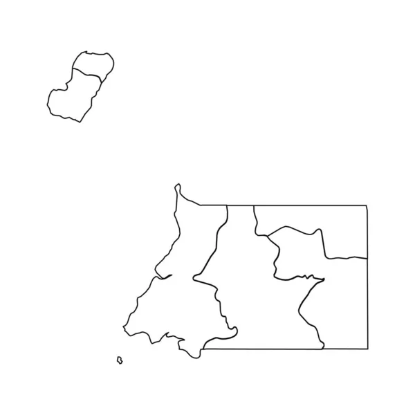
Stock vector Silhouette of the state borders of Saint Martin. An island state located in the Caribbean Sea. Vector illustration.

Published: Jul.01, 2024 17:20:30
Author: anna_art.r
Views: 0
Downloads: 0
File type: vector / eps
File size: 0.42 MB
Orginal size: 5749 x 3290 px
Available sizes:
Level: beginner
Similar stock vectors
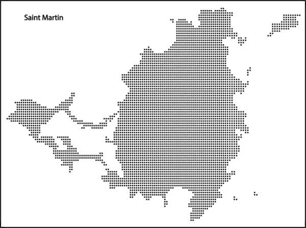
Vector Halftone Dotted Map Of Saint Martin Country For Your Design, Travel Illustration Concept.
3956 × 2948