Home
Images
Vectors
Videos
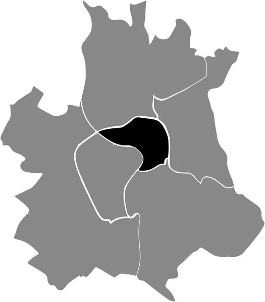
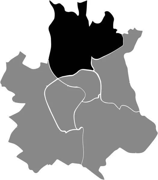
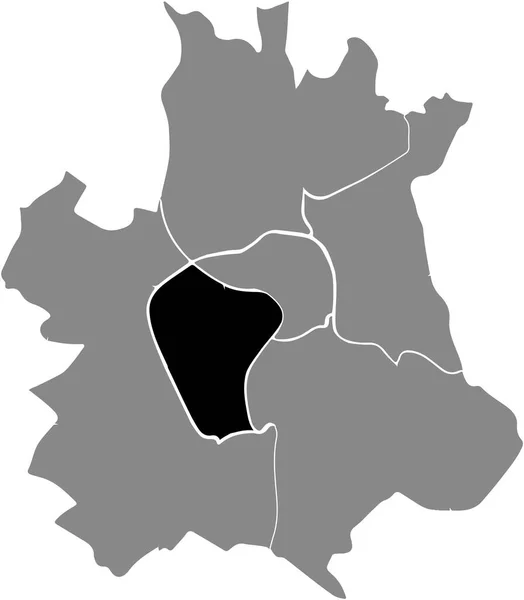
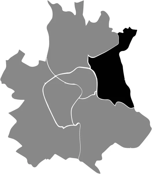
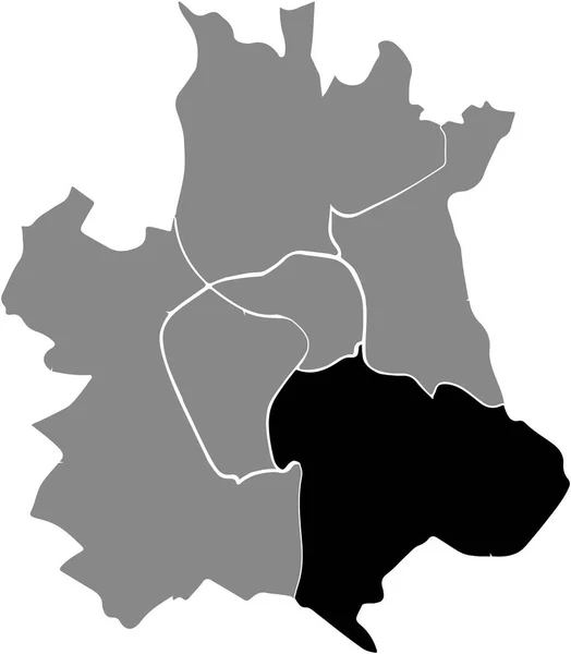
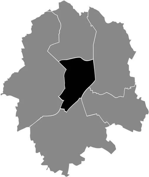
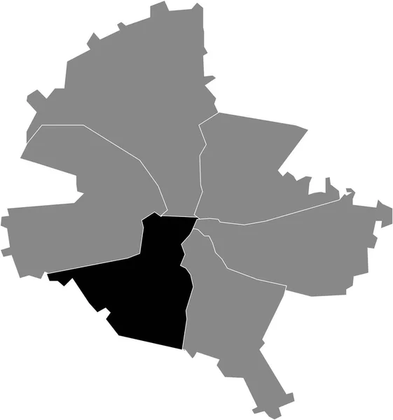
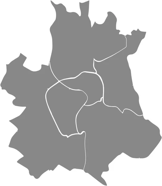
Stock vector Simple gray vector map with white borders of sectors of Toulouse, France
Published:
Aug.28, 2021 07:29:19
Author:
momcilo.jovanov
Views:
0
Downloads:
0
File type:
vector
/
eps
File size:
0.44 MB
Orginal size:
4645
x
5311
px
Available sizes:
S
(437 x 500)
M
(875 x 1000)
L
(1749 x 2000)
XL
(4645 x 5311)
VECT
(4645 x 5311)
EL0
(4645 x 5311)
Level:
bronze
Download Vector
Vector topics:
Vector
Curve
Illustration
Design
Sign
Travel
Transportation
Mountain
French
Car
Road
Traffic
Symbol
Icon
City
House
Data
Planning
France
Highway
Cityscape
Town
Journey
Outline
Direction
Map
Cartography
Land
Asphalt
Unity
Republic
Neighbourhood
Toulouse
Infographic
Cut Out
Travel Destinations
No People
Global Positioning System
Physical Geography
Construction Industry
Road Map
Navigational Equipment
Mobile App
Plan Document
Landscape Scenery
Similar stock vectors
Black Location Map Of The Toulousain Sector 1 - Toulouse Centre (Center) District Inside The French Regional Capital City Of Toulouse, France
4645 × 5311
Black Location Map Of The Toulousain Sector 3 - Toulouse Nord (North) District Inside The French Regional Capital City Of Toulouse, France
4645 × 5311
Black Location Map Of The Toulousain Sector 2 - Toulouse Rive Gauche District Inside The French Regional Capital City Of Toulouse, France
4645 × 5311
Black Location Map Of The Toulousain Sector 4 - Toulouse Est (East) District Inside The French Regional Capital City Of Toulouse, France
4645 × 5311
Black Location Map Of The Toulousain Sector 5 - Toulouse Sud-Est (South East) District Inside The French Regional Capital City Of Toulouse, France
4645 × 5311
Black Location Map Of The Mitte District Inside Gray Urban Districts Map Of The German Regional Capital City Of Mnster-Muenster, Germany
4564 × 5412
Black Flat Blank Highlighted Location Map Of The ZUIDWEST DISTRICT Inside Gray Administrative Map Of Apeldoorn, Netherlands
5417 × 4411
Black Location Map Of Romanian Sector 5 Inside Gray Map Of Bucharest, Romania
4689 × 5008