Home
Images
Vectors
Videos
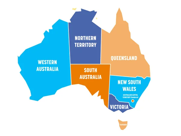
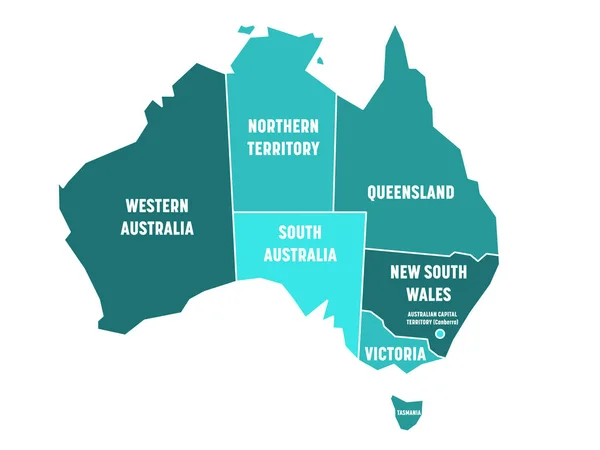
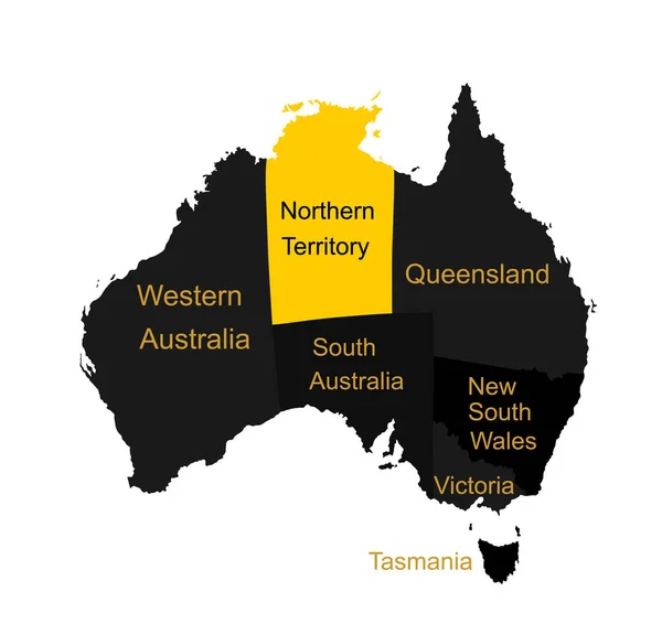
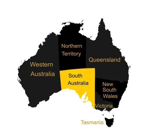
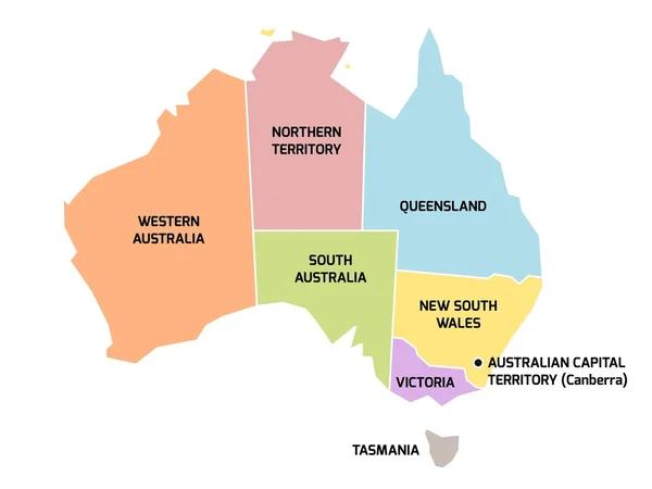
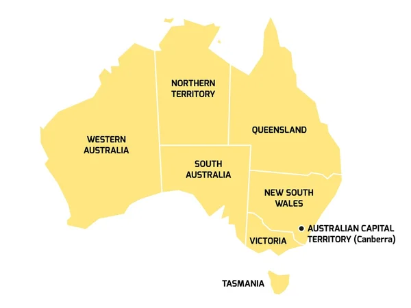
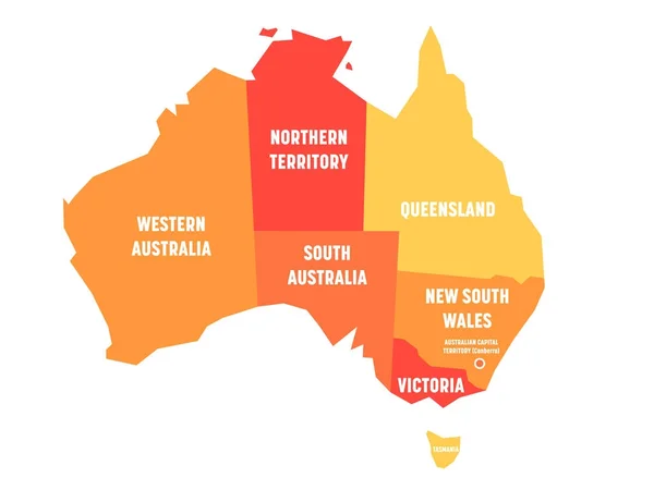
Stock vector Simplified map of Australia divided into states and territories. Orange flat map with white labels. Vector illustration
Published:
Oct.26, 2017 14:13:06
Author:
pyty
Views:
83
Downloads:
1
File type:
vector
/
eps
File size:
0.27 MB
Orginal size:
8000
x
6000
px
Available sizes:
S
(500 x 375)
M
(1000 x 750)
L
(2000 x 1500)
XL
(8000 x 6000)
VECT
(8000 x 6000)
EL0
(8000 x 6000)
Level:
silver
Download Vector
Vector topics:
Red
Yellow
White
Vector
Background
Illustration
Design
Isolated
Sign
New
Travel
Orange
Warm
Silhouette
Border
Hot
Contour
World
Coast
Detailed
Northern
Shade
South
Country
Western
Map
Cartography
Geography
National
Continent
State
Australia
Island
Political
Union
Division
Territory
Atlas
Wales
Nation
Australian
Victoria
Queensland
Tasmania
South Australia
Northern Territory
Western Australia
Vector Map
Australia Map
Map Australia
Similar stock vectors
Simplified Map Of Australia Divided Into States And Territories. Four Colors Map With White Borders And Labels. Vector Illustration
8000 × 6001
Simplified Map Of Australia Divided Into States And Territories. Turquoise Blue Flat Map With White Borders And White Labels. Vector Illustration
8000 × 6000
Simplified Map Of Australia Divided Into States And Territories. Green Flat Map With White Borders And White Labels. Vector Illustration
8000 × 6001
Northern Territory Map. Australian Map Vector Silhouette Illustration Isolated On White. Separated Countries Over Australia Map. Continent Symbol. Queensland Map. New South Wales. Victoria. Tasmania.
5233 × 4943
South Australia Map Vector Silhouette Illustration Isolated On White Background. Separated Countries Over Australia Map. Continent Symbol. Queensland Map. New South Wales. Victoria. Tasmania.
5233 × 4943
Australia Map With Regions
4259 × 5000
Australia Map With States And Territories
8000 × 6000
Australia Map With States And Territories
8000 × 6000