Home
Images
Vectors
Videos
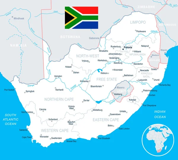
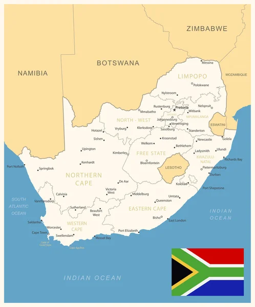
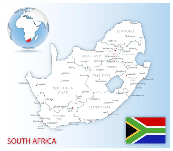
Stock vector South Africa - map and flag - illustration
Published:
Jul.31, 2017 09:54:53
Author:
dikobrazik
Views:
219
Downloads:
4
File type:
vector
/
eps
File size:
3.03 MB
Orginal size:
6455
x
5800
px
Available sizes:
S
(500 x 449)
M
(1000 x 899)
L
(2000 x 1797)
XL
(6455 x 5800)
VECT
(6455 x 5800)
EL0
(6455 x 5800)
Level:
silver
Download Vector
Vector topics:
White
Blue
Vector
Business
Flag
Gray
City
Detailed
Map
Africa
Land
Government
Politics
Namibia
Regions
Bloemfontein
Johannesburg
Limpopo
Pretoria
Gauteng
Mpumalanga
North West
Eastern Cape
South Africa
Illustration And Painting
Capital Cities
Western Cape
Cape Town
Navigational Equipment
Geographical Locations
East London
Port Elizabeth
Kwazulu Natal
Free State
South African Republic
Northern Cape
Pietersburg
Similar stock vectors
South Africa - Map And Flag - Illustration
6440 × 5800
South Africa Administrative And Political Vector Map
4751 × 4103
South Africa - Detailed Blue Country Map With Cities, Regions, Location On World Map And Globe. Infographic Icons. Vector Illustration
5734 × 6918
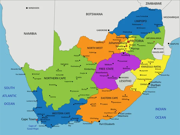
South Africa - Detailed Map With Administrative Divisions And Country Flag. Vector Illustration
6090 × 7325
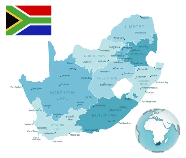
Detailed South Africa Administrative Map With Country Flag And Location On A Blue Globe. Vector Illustration
6006 × 5251
South Africa Administrative And Political Vector Map
4000 × 3852
South Africa Administrative Blue-green Map With Country Flag And Location On A Globe. Vector Illustration
5704 × 4847
Colorful South Africa Political Map With Clearly Labeled, Separated Layers. Vector Illustration.
5673 × 4254