Home
Images
Vectors
Videos
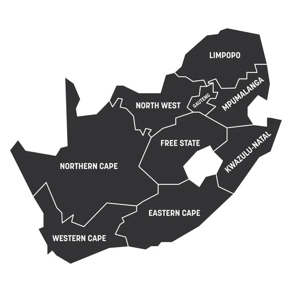
Stock vector South Africa Map labelled black
Published:
Feb.03, 2017 10:14:44
Author:
ingomenhard
Views:
64
Downloads:
1
File type:
vector
/
eps
File size:
4.85 MB
Orginal size:
7524
x
6500
px
Available sizes:
S
(500 x 432)
M
(1000 x 864)
L
(2000 x 1728)
XL
(7524 x 6500)
VECT
(7524 x 6500)
EL0
(7524 x 6500)
Level:
bronze
Download Vector
Vector topics:
Graphic
Illustration
Design
Isolated
Shape
New
Black
Silhouette
Border
Modern
City
Flat
Simple
Country
Map
Area
Trip
State
Countries
Borders
Illustrations
Administrative
Department
States
Region
Division
Territory
Caption
Flats
Labels
County
Divisions
Regional
Districts
Provinces
Regions
Labelled
Counties
Departments
South Africa
Similar stock vectors
Western Cape Red Highlighted In Map Of South Africa
6482 × 5600
Northern Cape Red Highlighted In Map Of South Africa
6482 × 5600
Eastern Cape Red Highlighted In Map Of South Africa
6482 × 5600
White Blank Vector Map Of The Republic Of South Africa With Black Borders And Names Of Its Provinces
5409 × 4598
North West Red Highlighted In Map Of South Africa
6482 × 5600
Vector Map Of South Africa With Provinces And Administrative Divisions. Editable And Clearly Labeled Layers.
5200 × 4000
KwaZulu-Natal Red Highlighted In Map Of South Africa
6482 × 5600
South Africa - Map Of Provinces
6000 × 6000