Home
Images
Vectors
Videos
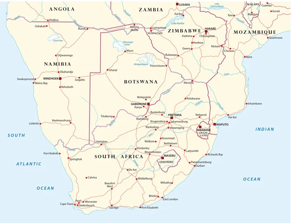
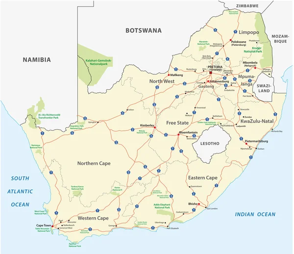
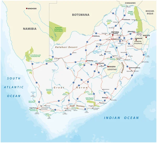
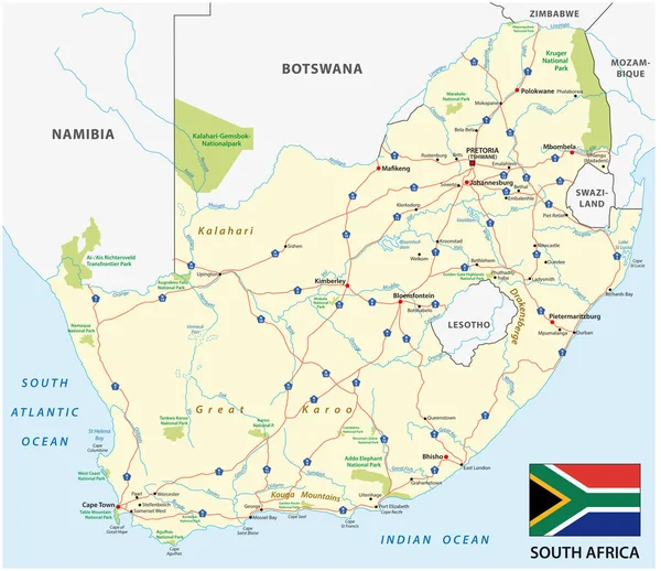
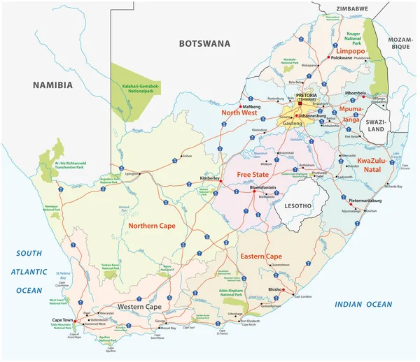
Stock vector south africa road, administrative and political vector map
Published:
Feb.08, 2018 06:46:54
Author:
Lesniewski
Views:
151
Downloads:
4
File type:
vector
/
eps
File size:
1.91 MB
Orginal size:
4733
x
4091
px
Available sizes:
S
(500 x 432)
M
(1000 x 864)
L
(2000 x 1729)
XL
(4733 x 4091)
VECT
(4733 x 4091)
EL0
(4733 x 4091)
Level:
bronze
Download Vector
Vector topics:
Vector
Background
Colorful
Illustration
Design
Sign
Travel
Park
Transportation
Black
Silhouette
Border
Road
African
Wallpaper
Ocean
Detailed
Town
Northern
South
Eastern
Outline
Country
Western
Map
Geography
National
Africa
Political
Administrative
Cape
Geographic
Indian
Atlas
Province
Natal
Namibia
Swaziland
Botswana
Lesotho
Mozambique
Johannesburg
Limpopo
Pretoria
Durban
Gauteng
Mpumalanga
National Park
Cape Town
Free State
Similar stock vectors
South Africa Road And National Park Map
4000 × 3913
Road Map Of States Of Southern Africa
4050 × 3100
South Africa Road Map
4713 × 4070
Namibia Road Map
4744 × 4081
South Africa Road And National Park Map
4020 × 3659
South Africa Road Vector Map With Flag
4733 × 4091
South Africa - Highly Detailed Editable Political Map With Labeling.
5673 × 4254
Detailed Roads And National Park Map Of Namibia
6560 × 6272