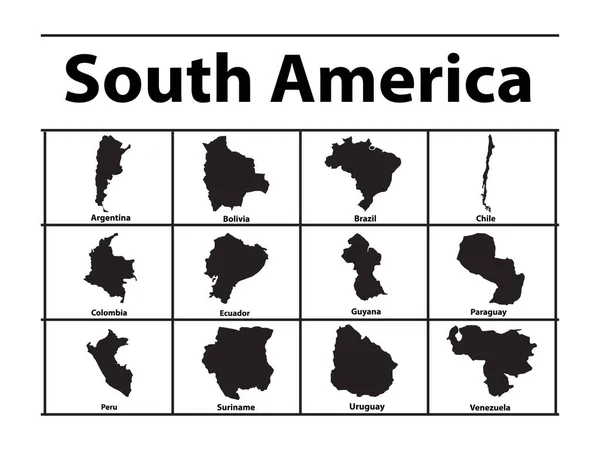
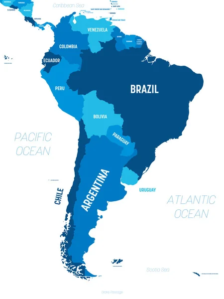
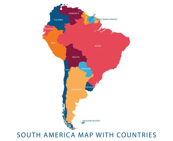
Stock vector South america - vector maps of countries

Published: Mar.16, 2015 15:00:37
Author: pavalena
Views: 416
Downloads: 13
File type: vector / eps
File size: 0.78 MB
Orginal size: 5682 x 4859 px
Available sizes:
Level: bronze