Home
Images
Vectors
Videos
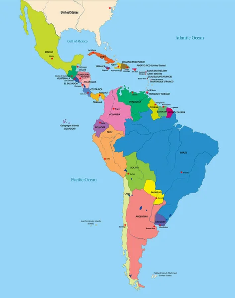
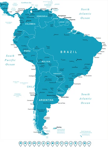
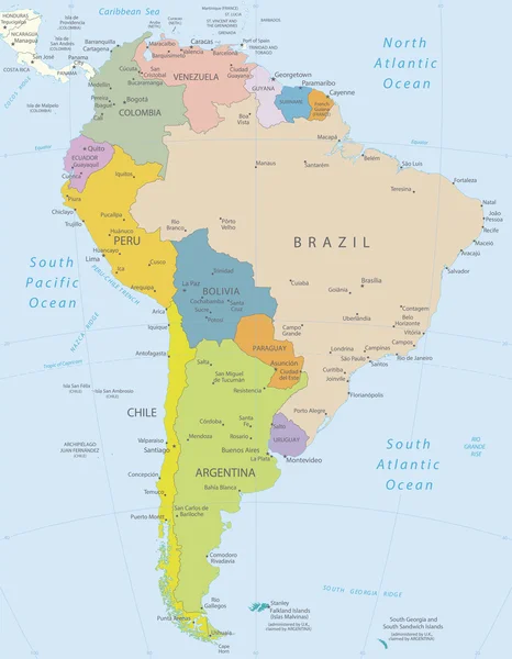
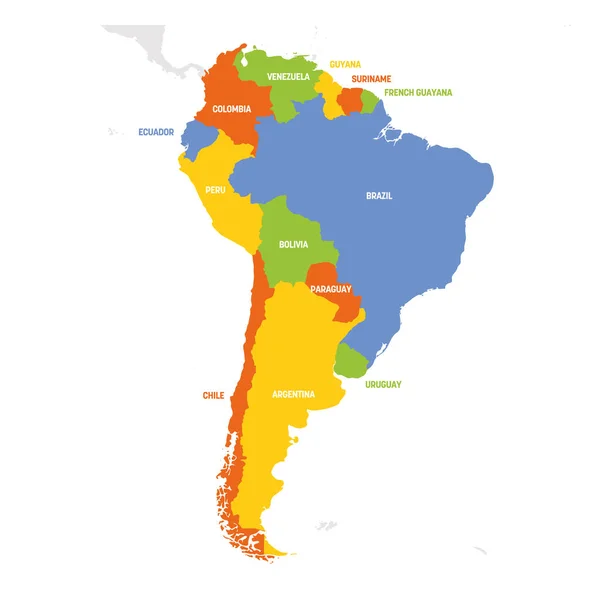
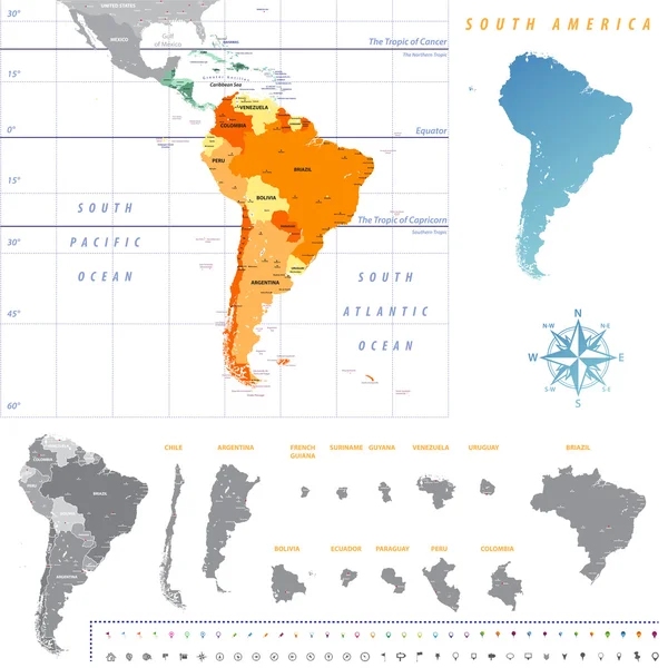
Stock vector South America Detailed Political Map with Navigation Icons
Published:
Mar.16, 2023 15:07:12
Author:
Livenart
Views:
3894
Downloads:
1
File type:
vector
/
eps
File size:
7.33 MB
Orginal size:
5969
x
8192
px
Available sizes:
S
(364 x 500)
M
(729 x 1000)
L
(1457 x 2000)
XL
(5969 x 8192)
VECT
(5969 x 8192)
EL0
(5969 x 8192)
Level:
bronze
Download Vector
Vector topics:
Color
Vector
Colored
Illustration
Painting
Business
Equipment
Colour
Sea
French
City
Usa
Ocean
Grid
Detailed
Capital
South
Map
Continent
Land
Topography
America
Government
Canada
Politics
Navigational
Locations
Central
Cities
Panama
Chile
Argentina
Paraguay
Peru
Geographical
Trinidad
Venezuela
Ecuador
Costa
Bolivia
Colombia
URUGUAY
Regions
Barbados
Guyana
Honduras
Nicaragua
Suriname
Tobago
Rica
Similar stock vectors
South America Political Map
6426 × 8192
Vector Political Map Of Latin America
4898 × 6200
South America - Map And Navigation Labels - Illustration.
5400 × 7378
South America - Highly Detailed Map.
3890 × 5000
South America Region. Map Of Countries In Southern America. Vector Illustration
6000 × 6000
South America Map. High Detailed Political Map South American Continent With Country, Capital, Ocean And Sea Names Labeling
4500 × 6000
Vector Political Map Of Latin America
4899 × 6200
South America Map With Each Country Map Separately Isolated On White Background. All Layers Detached And Labeled. Vector
7292 × 7292