Home
Images
Vectors
Videos
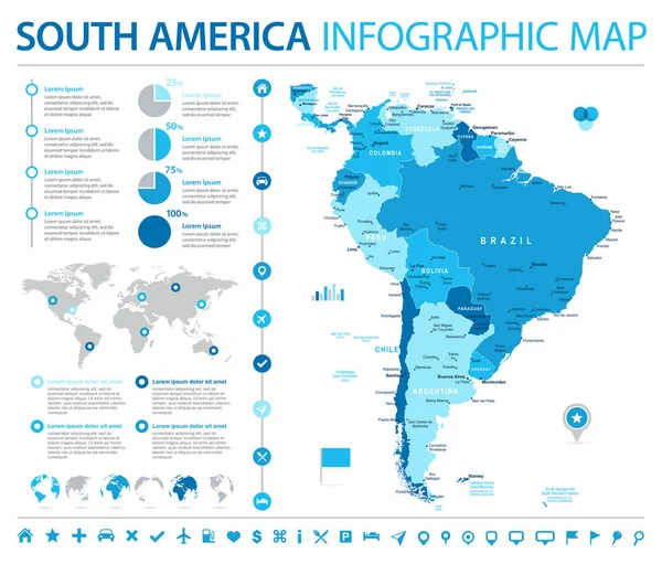
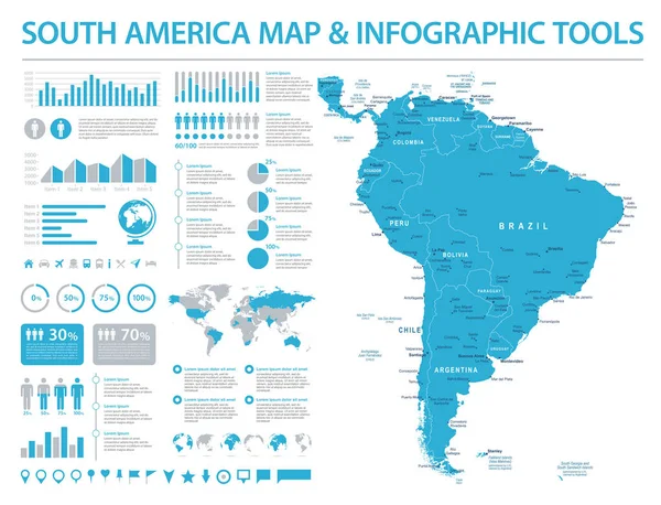
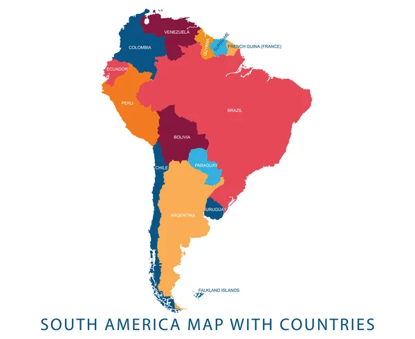
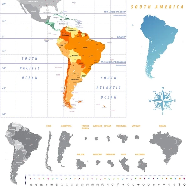
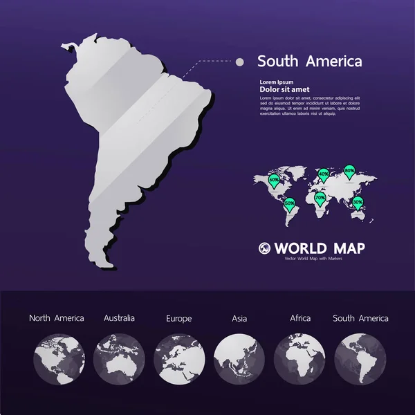
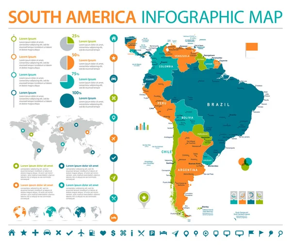
Stock vector South America Map - Info Graphic Vector Illustration
Published:
Oct.13, 2017 12:11:19
Author:
dikobrazik
Views:
208
Downloads:
7
File type:
vector
/
eps
File size:
8.89 MB
Orginal size:
6537
x
5500
px
Available sizes:
S
(500 x 421)
M
(1000 x 841)
L
(2000 x 1683)
XL
(6537 x 5500)
VECT
(6537 x 5500)
EL0
(6537 x 5500)
Level:
silver
Download Vector
Vector topics:
Green
Blue
Vector
Graphic
Illustration
Orange
Gray
Elements
City
Detailed
Country
Map
Geography
Land
Chart
Topography
Political
Canada
Info
Brazil
Mexico
Chile
Cuba
Argentina
Paraguay
Peru
Venezuela
Bahamas
Bolivia
Colombia
URUGUAY
Regions
Belize
Guatemala
Nicaragua
World Map
Costa Rica
South America
United States
Capital Cities
Navigational Equipment
Geographical Locations
Info Graph
Similar stock vectors
South America Map - Info Graphic Vector Illustration
6452 × 5500
South America Map - Info Graphic Vector Illustration
7203 × 5500
Vector Illustration Design Of Continent South America Map With Countries Name And Border,for Website,template,wallpaper,brochure,leaflet,flyer,banner,presentation,projects
5516 × 4513
South America Map And Infographic Elements. Detailed Vector Illustration Of Map.
6450 × 5115
South America Map With Each Country Map Separately Isolated On White Background. All Layers Detached And Labeled. Vector
7292 × 7292
Political Colored World Map Vector Info Graphic
5385 × 6297
World Planet Infographic Icons
5315 × 5315
Grand World Map Graphic Element Vector Illustration.
8329 × 8333