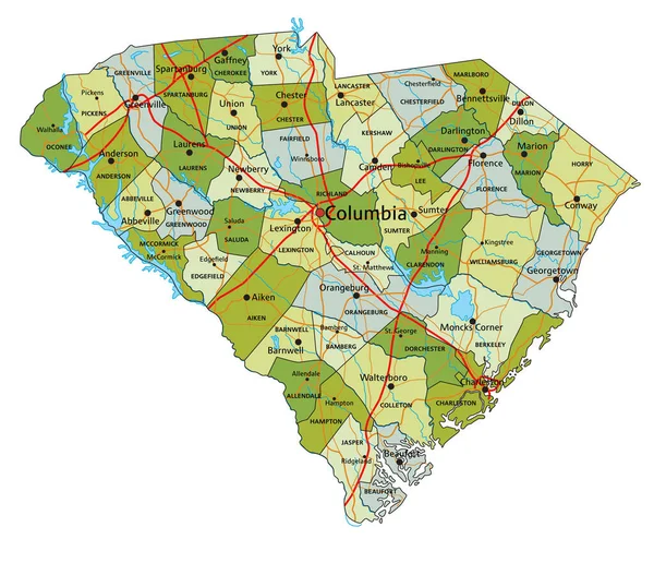
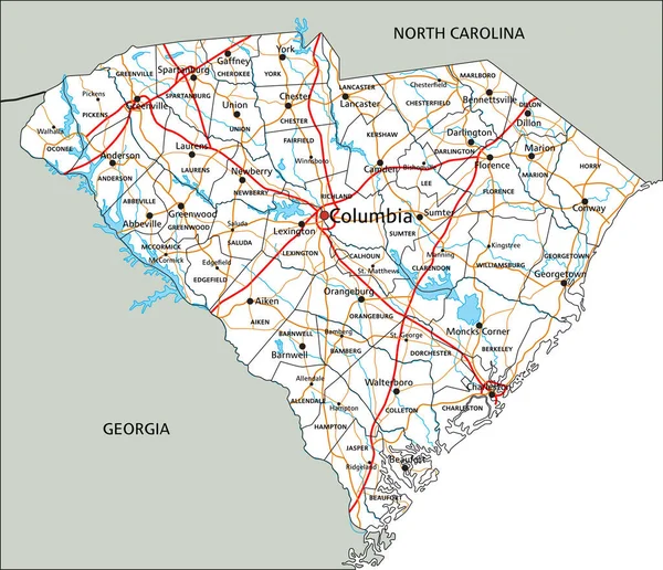
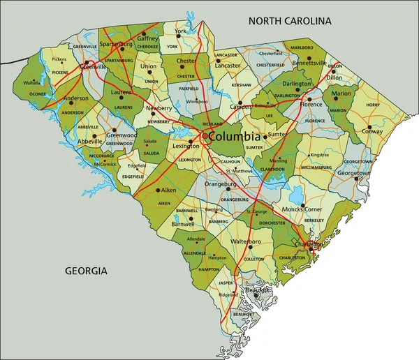
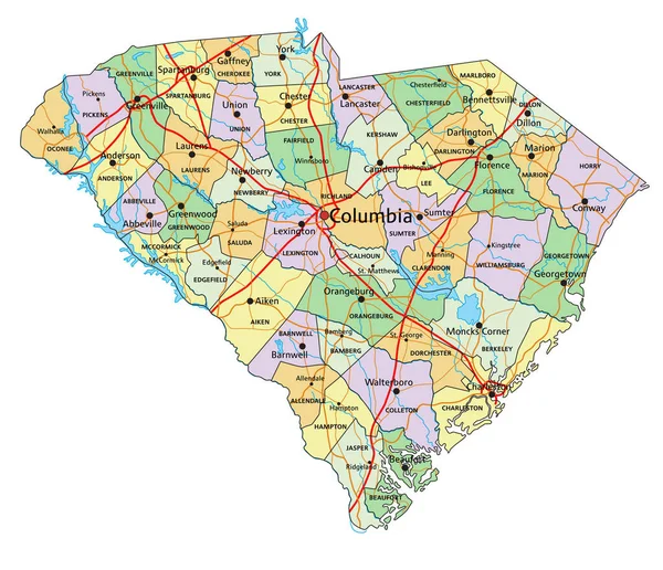
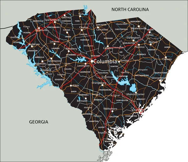
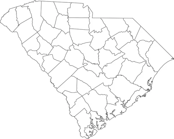
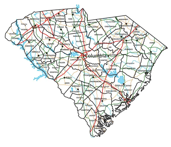
Stock vector South Carolina road and highway map. Vector illustration.
Published: May.04, 2023 07:22:40
Author: delpieroo
Views: 1
Downloads: 0
File type: vector / eps
File size: 7.65 MB
Orginal size: 4077 x 3506 px
Available sizes:
Level: bronze