Home
Images
Vectors
Videos
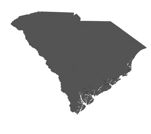
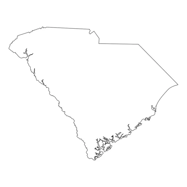
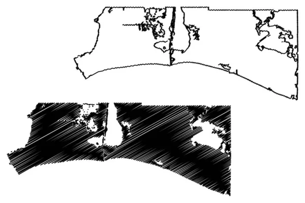
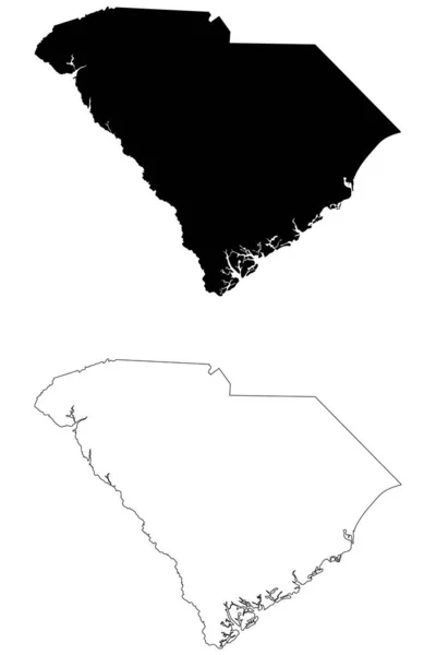
Stock vector South Carolina SC state Map USA. Black silhouette and outline isolated maps on a white background. EPS Vector
Published:
May.05, 2020 13:24:51
Author:
xileodesigns
Views:
3
Downloads:
1
File type:
vector
/
eps
File size:
5.62 MB
Orginal size:
8334
x
12501
px
Available sizes:
S
(333 x 500)
M
(667 x 1000)
L
(1333 x 2000)
XL
(8334 x 12501)
VECT
(8334 x 12501)
EL0
(8334 x 12501)
Level:
beginner
Download Vector
Vector topics:
White
Vector
Illustration
Sign
Black
Line
Silhouette
Border
Icon
Simple
American
Us
Usa
Detailed
Outline
Map
Geography
National
State
America
Boundary
United
States
Nation
Eps
Sc
Black And White
South Carolina
Vector Map
U S
U S A
Similar stock vectors
Zambezi Region (Regions Of Namibia, Republic Of Namibia) Map Vector Illustration, Scribble Sketch Caprivi Region Map
7087 × 4726
Map Of South Carolina - USA
9000 × 8000
South Carolina SC State Border USA Map Outline
8334 × 8334
Shelby County, Texas (Counties In Texas, United States Of America,USA, U.S., US) Map Vector Illustration, Scribble Sketch Shelby Map
7087 × 4726
Cameron County, Louisiana (U.S. County, United States Of America, USA, U.S., US) Map Vector Illustration, Scribble Sketch Cameron Parish Map
7087 × 4726
Franklin County, Florida (U.S. County, United States Of America,USA, U.S., US) Map Vector Illustration, Scribble Sketch Franklin Map
7087 × 4726
Carteret County, North Carolina State (U.S. County, United States Of America, USA, U.S., US) Map Vector Illustration, Scribble Sketch Carteret Map
7087 × 4726
Cameron County, Louisiana (U.S. County, United States Of America, USA, U.S., US) Map Vector Illustration, Scribble Sketch Cameron Parish Map
7087 × 4726