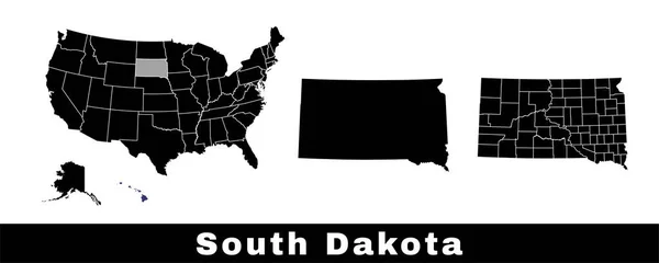
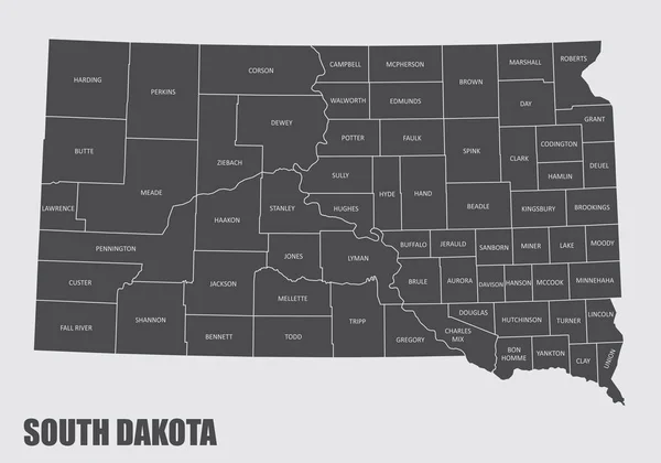
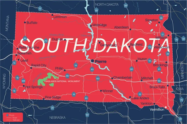
Stock vector South Dacota state detailed editable map
Published: Dec.23, 2020 16:32:15
Author: olinchuk
Views: 11
Downloads: 2
File type: vector / eps
File size: 0.81 MB
Orginal size: 6500 x 4304 px
Available sizes:
Level: gold