Home
Images
Vectors
Videos
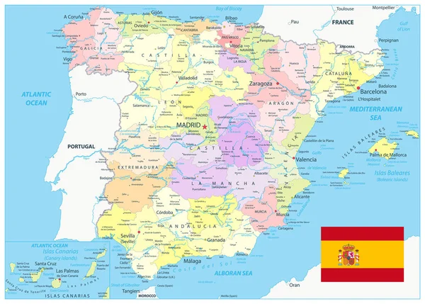
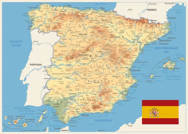
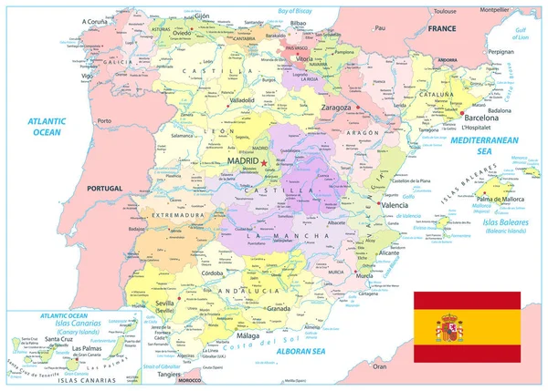
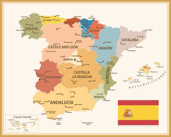
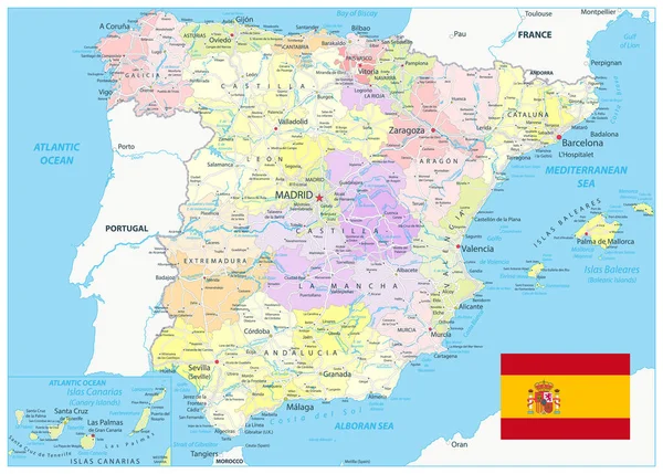
Stock vector Spain Administrative Divisions Map and Roads. All elements are separated in editable layers clearly labeled. Vector illustration.
Published:
Mar.11, 2020 09:30:04
Author:
Cartarium
Views:
63
Downloads:
3
File type:
vector
/
eps
File size:
10.3 MB
Orginal size:
5631
x
4031
px
Available sizes:
S
(500 x 358)
M
(1000 x 716)
L
(2000 x 1432)
XL
(5631 x 4031)
VECT
(5631 x 4031)
EL0
(5631 x 4031)
Level:
bronze
Download Vector
Vector topics:
Vector
Background
Graphic
Illustration
Design
Sea
European
Silhouette
Border
Flag
Road
City
Contour
France
Ocean
Detailed
Capital
Europe
Outline
Country
Map
Cartography
Land
Mediterranean
Portugal
Spain
Emblem
Atlantic
Politics
Region
Editable
Spanish
Territory
Mapping
Barcelona
Geographical
Catalonia
Rivers
Valencia
Zaragoza
Madrid
Galicia
Navarra
Mallorca
Ibiza
Regions
Aragon
Toledo
Menorca
Oviedo
Similar stock vectors
Detailed Political Map Of Spain. All Elements Are Separated In Editable Layers Clearly Labeled. Vector Illustration.
5631 × 4031
Spain Physical Map Retro Colors. All Elements Are Separated In Editable Layers Clearly Labeled. Vector Illustration.
5039 × 3606
Detailed Political Map Of Spain Isolated On White. All Elements Are Separated In Editable Layers Clearly Labeled. Vector Illustration.
5631 × 4031
Spain Detail Map White Color. All Elements Are Separated In Editable Layers Clearly Labeled. Vector Illustration.
5631 × 4031
Vintage Map Of Spain With Flag
8192 × 6578
Spain Physical Map Old Colors. All Elements Are Separated In Editable Layers Clearly Labeled. Vector Illustration.
5126 × 3689
Spain - Detailed Topographic Map - Illustration
5870 × 4552
Spain Map - Vuntage
7180 × 5900