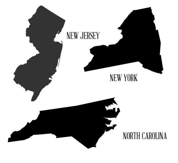
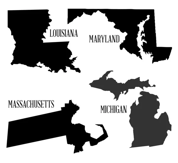
Stock vector State Silhouette Collection
Published: Oct.06, 2015 06:09:19
Author: BigAlBaloo
Views: 44
Downloads: 1
File type: vector / eps
File size: 5.06 MB
Orginal size: 6804 x 6250 px
Available sizes:
Level: silver