Home
Images
Vectors
Videos
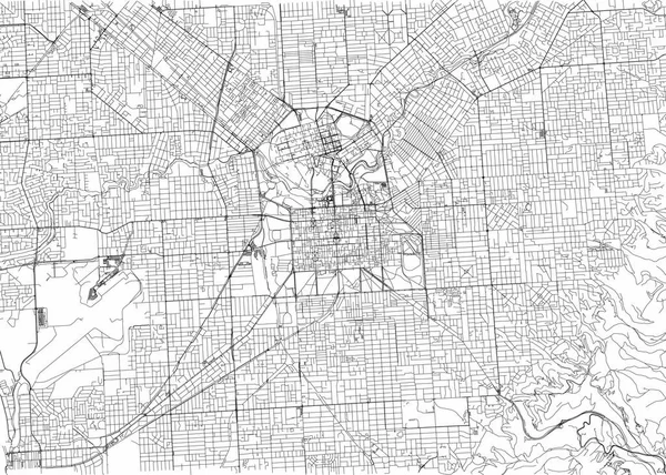
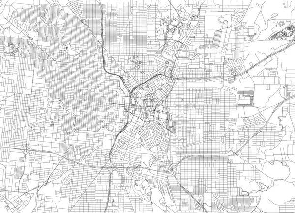
Stock vector Streets of San Antonio, city map, Texas. Roads and urban area. United States of America. The city is the second most populous in Texas
Published:
May.21, 2018 12:59:25
Author:
vampy1
Views:
112
Downloads:
3
File type:
vector
/
eps
File size:
4.63 MB
Orginal size:
6659
x
4822
px
Available sizes:
S
(500 x 362)
M
(1000 x 724)
L
(2000 x 1448)
XL
(6659 x 4822)
VECT
(6659 x 4822)
EL0
(6659 x 4822)
Level:
silver
Download Vector
Vector topics:
Travel
Road
City
Downtown
Cross
Lines
Visit
Tourism
Journey
Cartography
Geography
Land
Trucking
Metropolis
Texas
Discover
Highways
Commerce
Roads
Orography
United States
Road Map
San Antonio
Back Roads
Black Line
Streets Map
Similar stock vectors
Streets Of Adelaide, City Map, Australia. Street Map
6659 × 4751
Streets Of Fort Worth, City Map, Texas. Roads And Urban Area. United States Of America
6659 × 4626
Streets Of Columbus Is The State Capital And The Most Populous City In Ohio. United States Of America
6659 × 4992
Urban Vector City Map Of Tucson, Arizona, United States Of America
6000 × 3110
Map Of The City Of Denver, Colorado, USA
4817 × 5129
Streets Of Perth, City Map, Australia. Street Map
6659 × 4992
Streets Of Pretoria, City Map, South Africa. Street Map
6659 × 4992
Streets Of Indianapolis, City Map, Capital City, Indiana. Streets And Urban Area. Usa. The City Is The Capital And Most Populous City Of The U.S. State Of Indiana And The Seat Of Marion County
6659 × 4992