Home
Images
Vectors
Videos
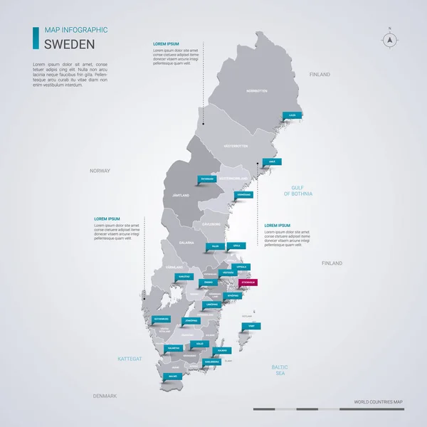
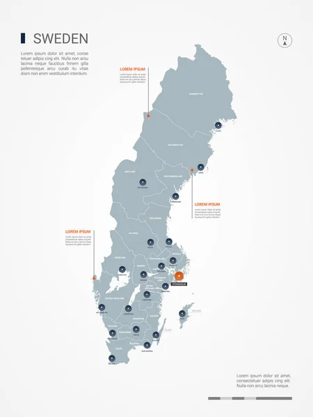
Stock vector Sweden map with borders, cities, capital and administrative divisions. Infographic vector map. Editable layers clearly labeled.
Published:
Sep.20, 2018 19:48:31
Author:
molokowall
Views:
21
Downloads:
0
File type:
vector
/
eps
File size:
2.28 MB
Orginal size:
3000
x
4000
px
Available sizes:
S
(375 x 500)
M
(750 x 1000)
L
(1500 x 2000)
XL
(3000 x 4000)
VECT
(3000 x 4000)
EL0
(3000 x 4000)
Level:
bronze
Download Vector
Vector topics:
White
Vector
Background
Circle
Isolated
Travel
Orange
Border
Symbol
City
Button
Contour
Grey
Information
Education
World
Sweden
Town
Identity
Outline
Country
District
Map
Cartography
Geography
National
Continent
Land
Ground
State
Topography
Location
Political
Politics
Geographic
Region
Territory
Atlas
Nation
Subdivision
Mapping
Infographic
Travel Map
Sweden Map
Vector Map
Similar stock vectors
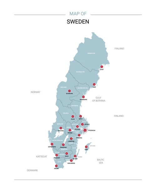
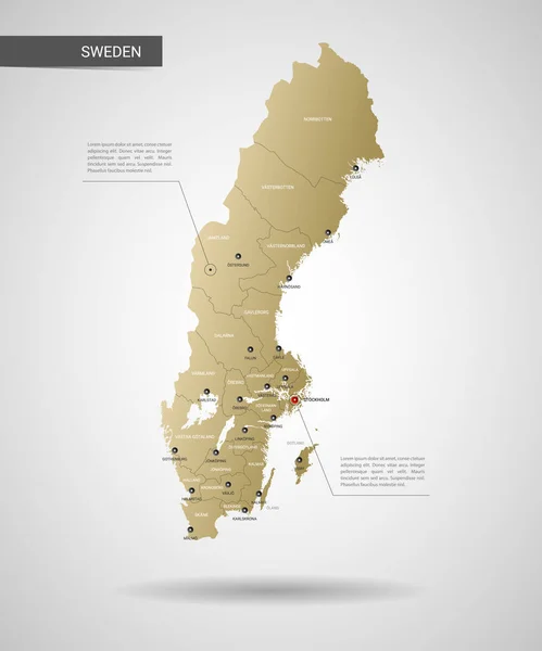
Sweden Vector Map. Editable Template With Regions, Cities, Red Pins And Blue Surface On White Background.
4000 × 4800
Stylized Vector Sweden Map Showing Big Cities, Capital Stockholm, Administrative Divisions And Country Borders
3000 × 3000
Sweden Vector Map With Infographic Elements, Pointer Marks.
4000 × 4000
Sweden Vector Map Infographic Template. Slide Presentation. Stockholm, Gothenburg, Malmo. Global Business Marketing Concept. Color Europe Country.
6667 × 3751
Stylized Vector Sweden Map. Infographic 3d Gold Map Illustration With Cities, Borders, Capital, Administrative Divisions And Pointer Marks, Shadow; Gradient Background.
3000 × 3600
Finland Map With Borders, Cities, Capital And Administrative Divisions. Infographic Vector Map. Editable Layers Clearly Labeled.
3000 × 3000
Sweden Map With Location Pointer Marks. Infographic Vector Template, Isolated On White Background.
4000 × 5000
Norway Map With Borders, Cities, Capital And Administrative Divisions. Infographic Vector Map. Editable Layers Clearly Labeled.
3000 × 4000