Home
Images
Vectors
Videos
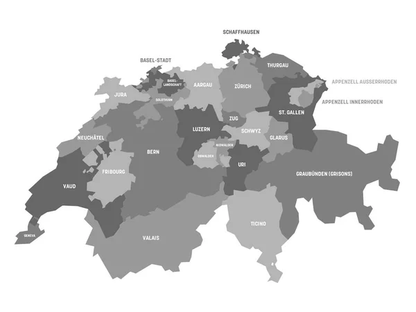
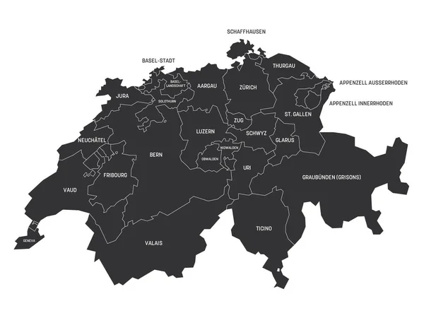
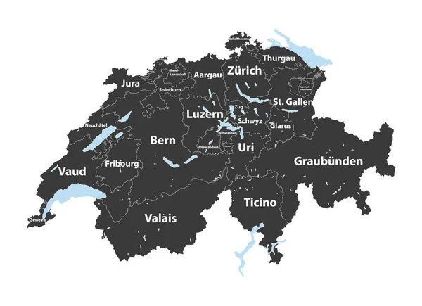
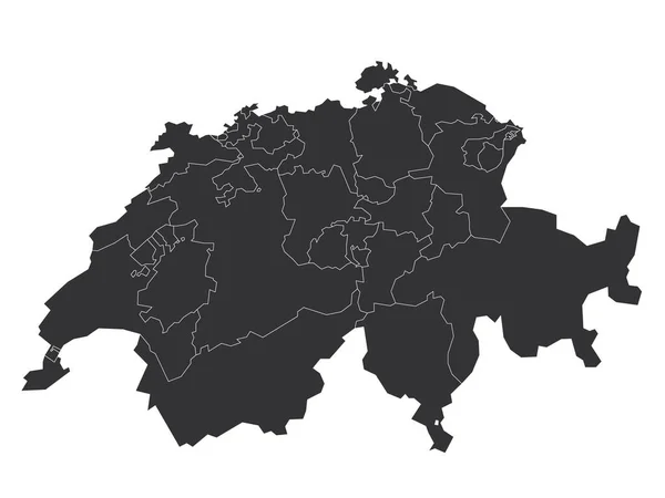
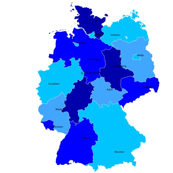
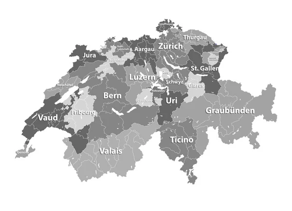
Stock vector Switzerland vector map colored by cantons with districts boundaries
Published:
Jan.02, 2020 10:08:03
Author:
Jktu_21
Views:
7
Downloads:
0
File type:
vector
/
eps
File size:
16.12 MB
Orginal size:
8333
x
6042
px
Available sizes:
S
(500 x 363)
M
(1000 x 725)
L
(2000 x 1450)
XL
(8333 x 6042)
VECT
(8333 x 6042)
EL0
(8333 x 6042)
Level:
silver
Download Vector
Vector topics:
Vector
Background
Graphic
Illustration
Shape
Swiss
Travel
Switzerland
Europe
Country
District
Map
Cartography
Geography
National
Land
State
Location
Borders
Administrative
Region
Division
Boundaries
Nation
Regional
Basel
ZUG
Vaud
Canton
Geneva
Bern
Luzern
Ticino
Valais
Schaffhausen
Glarus
Schwyz
Uri
Appenzell
Jura
Thurgau
Fribourg
Neuchatel
Aargau
Nidwalden
Solothurn
Obwalden
Infographic
St Gallen
Similar stock vectors
Canton Of Switzerland Map
6000 × 4500
Canton Of Switzerland Map
6000 × 4500
Swiss Cantons Detailed Vector Map
8333 × 6042
Dark Gray Flat Vector Administrative Map Of KASSEL, GERMANY With Name Tags And White Border Lines Of Its Districts
5506 × 4400
Switzerland - Blank Map Of Cantons
6000 × 4500
Germany
4520 × 4520
Map Of Germany Set
7089 × 5908
White Flat Vector Administrative Map Of ESSLINGEN AM NECKAR, GERMANY With Name Tags And Black Border Lines Of Its Municipalities
6007 × 3920