Home
Images
Vectors
Videos
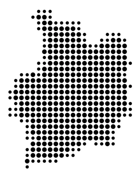
Stock vector Symbol Map of the Departement Eure-et-Loir (France) showing the state/province with a pattern of black circles
Published:
Jul.05, 2024 14:42:00
Author:
TipTopMap
Views:
0
Downloads:
0
File type:
vector
/
eps
File size:
1.28 MB
Orginal size:
5019
x
6000
px
Available sizes:
S
(418 x 500)
M
(837 x 1000)
L
(1673 x 2000)
XL
(5019 x 6000)
VECT
(5019 x 6000)
EL0
(5019 x 6000)
Level:
beginner
Download Vector
Vector topics:
White
Nobody
Isolated
Travel
Abstract
Black
Symbol
Monochrome
France
Tourism
Outline
Country
District
Map
Cartography
Plan
Land
State
Chart
Topography
Region
Province
Topographic
Fr
Topo
Black And White
No People
Eure Et Loir
Federal State
Symbol Map
Country Outline
Departement Eure Et Loir
Similar stock vectors
Symbol Map Of The Bundesland Vorarlberg (Austria) Showing The State/province With A Pattern Of Black Circles
3948 × 6000
Symbol Map Of The Departement Hautes-Pyrenees (France) Showing The State/province With A Pattern Of Black Circles
4589 × 6000
Isolated Dotted Political Map Of Spain
5316 × 5316
Symbol Map Of The Departement Ardennes (France) Showing The State/province With A Pattern Of Black Circles
5714 × 6000
Symbol Map Of The Departement Ille-et-Vilaine (France) Showing The State/province With A Pattern Of Black Circles
4737 × 6000
Symbol Map Of The Departement Alpes-Maritimes (France) Showing The State/province With A Pattern Of Black Circles
5285 × 6000
Symbol Map Of The Province Luxembourg (Belgium) Showing The State/province With A Pattern Of Black Circles
4523 × 6000
Symbol Map Of The Departement Ariege (France) Showing The State/province With A Pattern Of Black Circles
6000 × 4661