Home
Images
Vectors
Videos
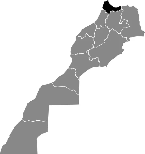
Stock vector Tanger Tetouan Al Hoceima region map, administrative division of Morocco. Vector illustration.
Published:
May.03, 2024 09:34:51
Author:
majborodinruslan1990.icloud.com
Views:
0
Downloads:
0
File type:
vector
/
eps
File size:
6.48 MB
Orginal size:
8334
x
8334
px
Available sizes:
S
(500 x 500)
M
(1000 x 1000)
L
(2000 x 2000)
XL
(8334 x 8334)
VECT
(8334 x 8334)
EL0
(8334 x 8334)
Level:
beginner
Download Vector
Vector topics:
Vector
Graphic
Illustration
Design
Isolated
Sign
Texture
Line
Silhouette
Border
Banner
Symbol
Icon
Contour
Simple
Drawing
Template
Detailed
Capital
Outline
Country
District
Map
Cartography
Geography
Area
National
Land
State
Chart
Topography
Boundary
Political
Administrative
Department
Region
Division
Federal
Territory
Atlas
Province
County
Morocco
Mapping
Cut Out
Tanger Tetouan Al Hoceima
Similar stock vectors
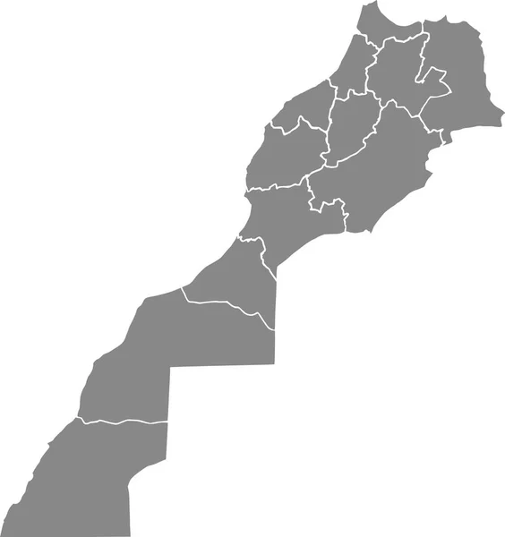
Vector Blank Map Of Morocco With Regions And Administrative Divisions. Editable And Clearly Labeled Layers.
4100 × 4500
Black Highlighted Location Map Of The Moroccan Dakhla-Oued Ed-Dahab Region Inside Gray Map Of The Kingdom Of Morocco
4794 × 5100
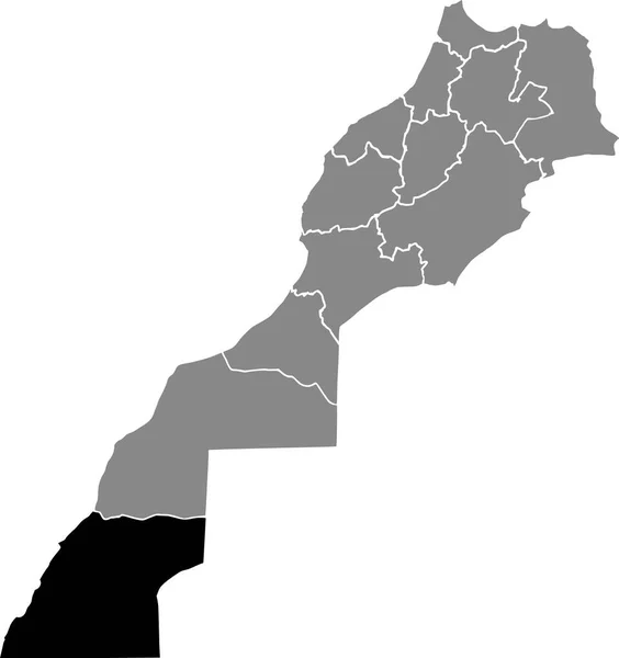
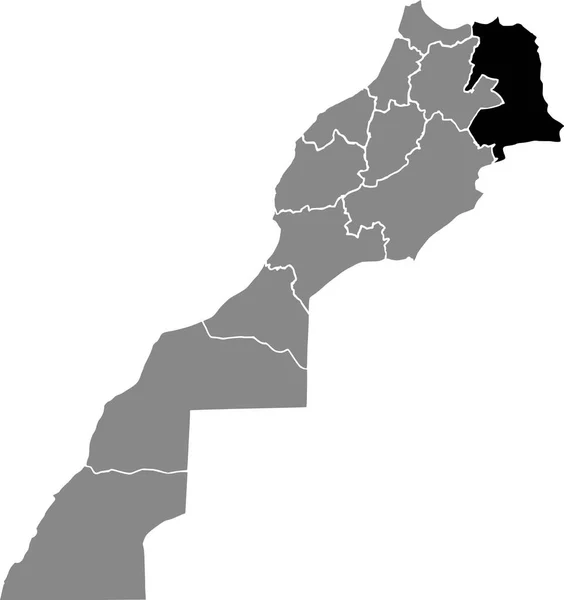
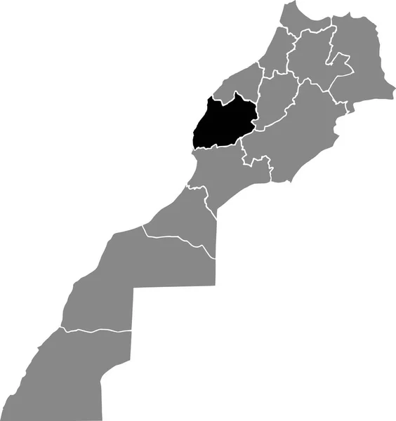
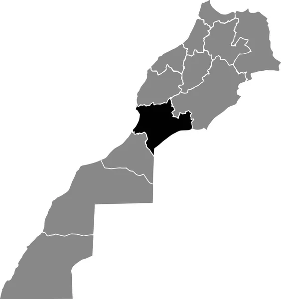
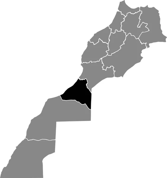
Black Highlighted Location Map Of The Moroccan L'Oriental Region Inside Gray Map Of The Kingdom Of Morocco
4794 × 5100
Gray Vector Map Of The Kingdom Of Morocco With White Borders Of Its Regions
4794 × 5100
Black Highlighted Location Map Of The Moroccan Marrakech-Safi Region Inside Gray Map Of The Kingdom Of Morocco
4794 × 5100
Black Highlighted Location Map Of The Moroccan Tanger-Ttouan-Al Hocema Region Inside Gray Map Of The Kingdom Of Morocco
4794 × 5100
Black Highlighted Location Map Of The Moroccan Souss-Massa Region Inside Gray Map Of The Kingdom Of Morocco
4794 × 5100
Black Highlighted Location Map Of The Moroccan Guelmim-Oued Noun Region Inside Gray Map Of The Kingdom Of Morocco
4794 × 5100