Home
Images
Vectors
Videos
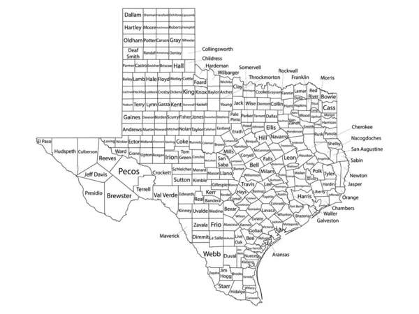
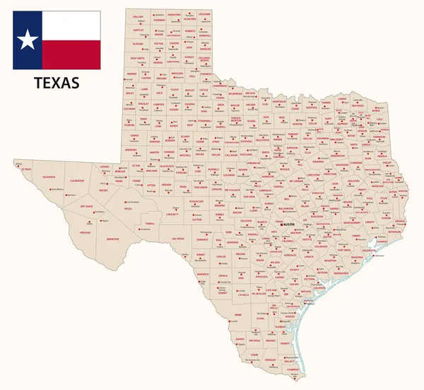
Stock vector texas administrative and political vector map with flag
Published:
Aug.19, 2017 13:25:19
Author:
Lesniewski
Views:
107
Downloads:
2
File type:
vector
/
eps
File size:
3.06 MB
Orginal size:
4806
x
4418
px
Available sizes:
S
(500 x 460)
M
(1000 x 919)
L
(2000 x 1839)
XL
(4806 x 4418)
VECT
(4806 x 4418)
EL0
(4806 x 4418)
Level:
bronze
Download Vector
Vector topics:
Vector
Background
Graphic
Illustration
Travel
Border
Frame
Flag
Symbol
City
Home
American
Usa
Coast
Tourism
North
East
South
Outline
Map
Cartography
Geography
State
Texas
America
Political
Administrative
United
County
Austin
Houston
Mapping
Dallas
Counties
United States
Amerixca
Similar stock vectors
High Quality Map Of Texas Is A State Of United States Of America With Borders Of The Counties
4000 × 4000
Texas Political Map, Illustration With Each County Selectable Independently
3295 × 3202
Texas State Map Divided In Counties With Labels, USA
5000 × 4786
Accurate Map Of Texas
5000 × 4000
Texas Isolated Map
5000 × 5000
Texas State Isolated Map. Black Outlines On White Background.
5000 × 4810
White Outline Counties Map With Counties Names Of US State Of Texas
4800 × 3600