Home
Images
Vectors
Videos
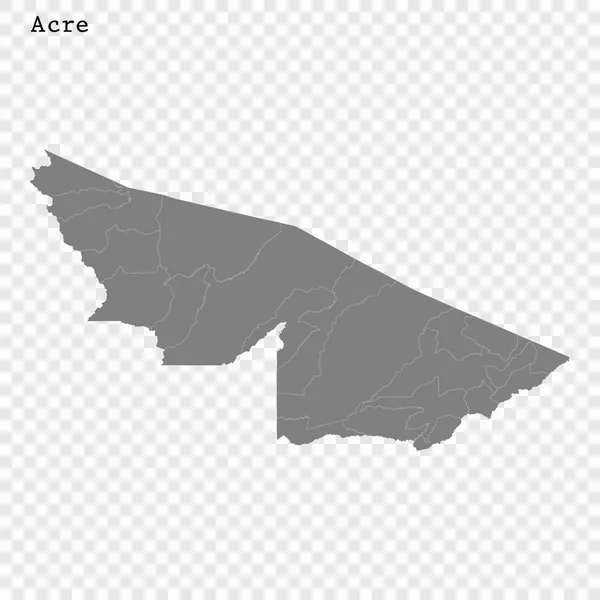
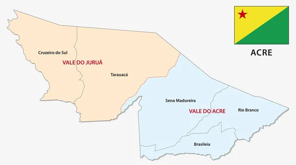
Stock vector The Acre State regions map with labels on white background, Brazil
Published:
Jul.23, 2020 09:21:05
Author:
luisrftc
Views:
2
Downloads:
0
File type:
vector
/
eps
File size:
8.21 MB
Orginal size:
5800
x
3536
px
Available sizes:
S
(500 x 305)
M
(1000 x 610)
L
(2000 x 1219)
XL
(5800 x 3536)
VECT
(5800 x 3536)
EL0
(5800 x 3536)
Level:
bronze
Download Vector
Vector topics:
Vector
Graphic
Illustration
Isolated
Travel
Texture
Silhouette
Border
Center
City
Contour
Tourism
Detailed
Town
Famous
South
Outline
Country
District
Map
Cartography
Geography
Plan
Area
National
Overview
State
Guide
Review
Government
Political
Administrative
Union
United
Department
Region
Division
Brazil
Prefecture
Sub
Patriotic
Province
Acre
County
Greater
Mapping
Brazilian
Oblast
Boroughs
Similar stock vectors
Acre Brazil Map Grey
8483 × 5000
The Acre State Map Divided In Regions With Labels, Brazil
5800 × 3536
Acre Brazil Map Black Inverted
8483 × 5000
Polygonal 2D Mesh High Detail Vector Map Of Acre State Abstractions
5551 × 3000
High Quality Mapstate Of Brazil
4000 × 4000
Acre Administrative And Political Map With Flag
5555 × 3100
The Chaco Province Isolated Map Divided In Departments With Labels, Argentina
5000 × 4450
Shape Of North Darfur, State Of Sudan, With Its Capital Isolated On Solid Background. Distance Scale, Region Preview And Labels. Colored Elevation Map. 3D Rendering
2880 × 1620