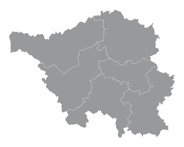
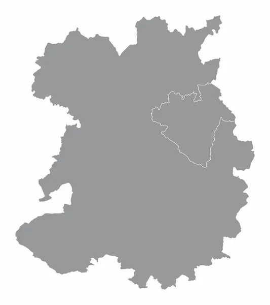
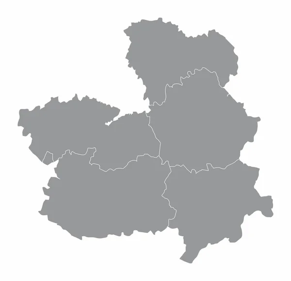
Stock vector The Castilla-La Mancha region map divided in provinces, Spain
Published: Sep.17, 2020 13:23:35
Author: luisrftc
Views: 1
Downloads: 0
File type: vector / eps
File size: 8.11 MB
Orginal size: 5000 x 4826 px
Available sizes:
Level: bronze