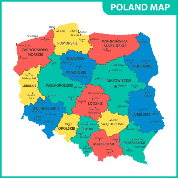
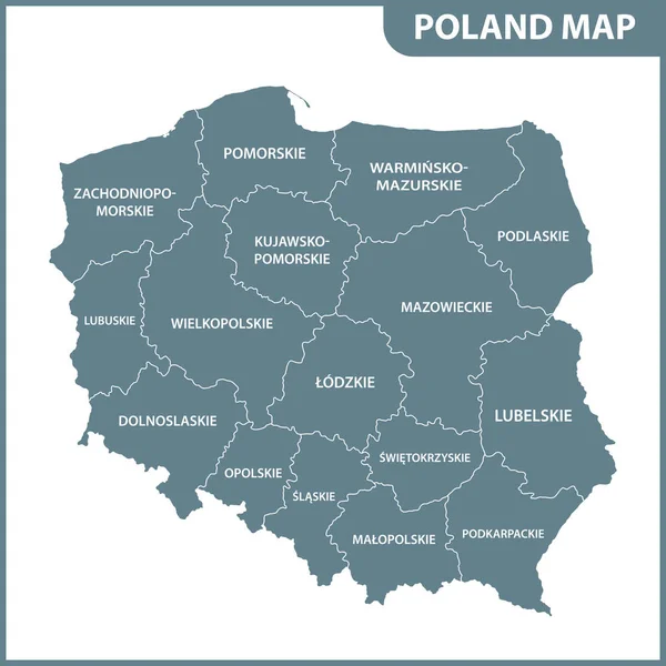
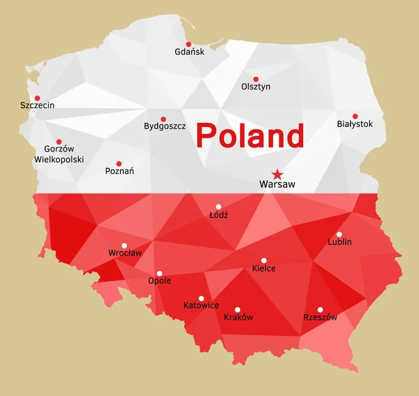
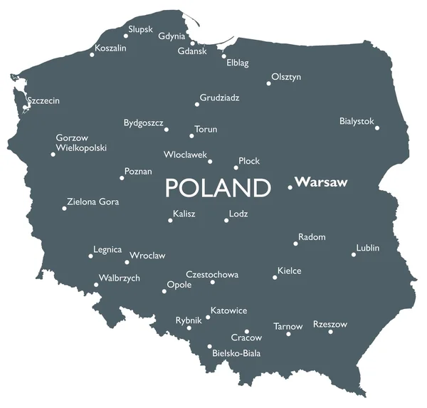
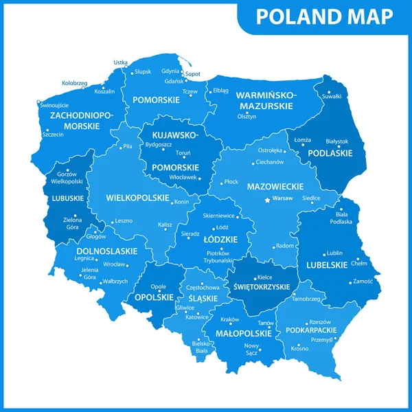
Stock vector The detailed map of Poland with regions or states and cities, capitals. Administrative division
Published: Apr.18, 2022 12:49:49
Author: -panya-
Views: 242
Downloads: 4
File type: vector / eps
File size: 1.2 MB
Orginal size: 5500 x 5500 px
Available sizes:
Level: bronze
Similar stock vectors
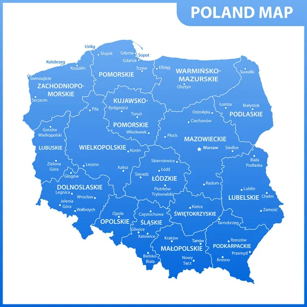
The Detailed Map Of Poland With Regions Or States And Cities, Capitals. Administrative Division
5500 × 5500