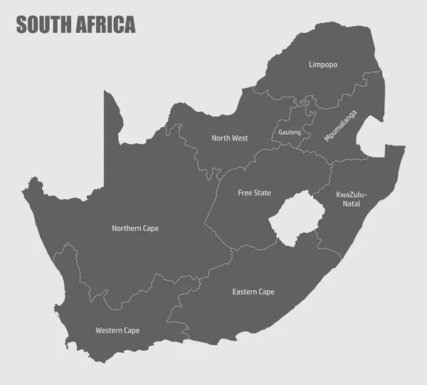
Stock vector The detailed map of South Africa with regions or states. Administrative division

Published: Apr.18, 2022 12:49:49
Author: -panya-
Views: 20
Downloads: 2
File type: vector / eps
File size: 0.55 MB
Orginal size: 6000 x 5000 px
Available sizes:
Level: bronze
Similar stock vectors
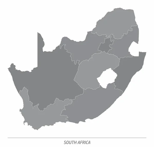
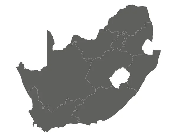
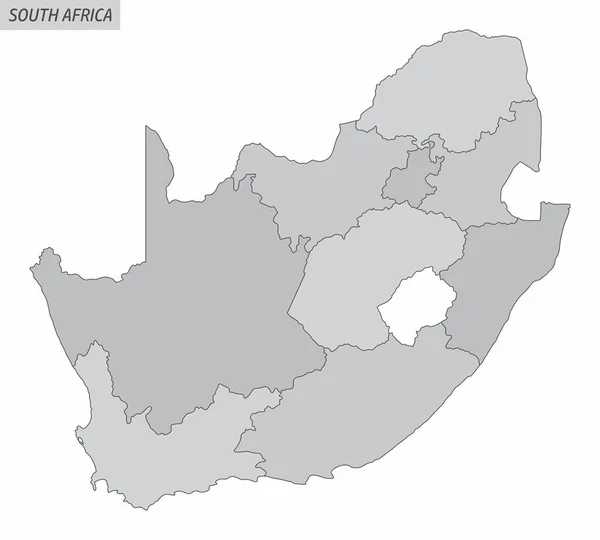
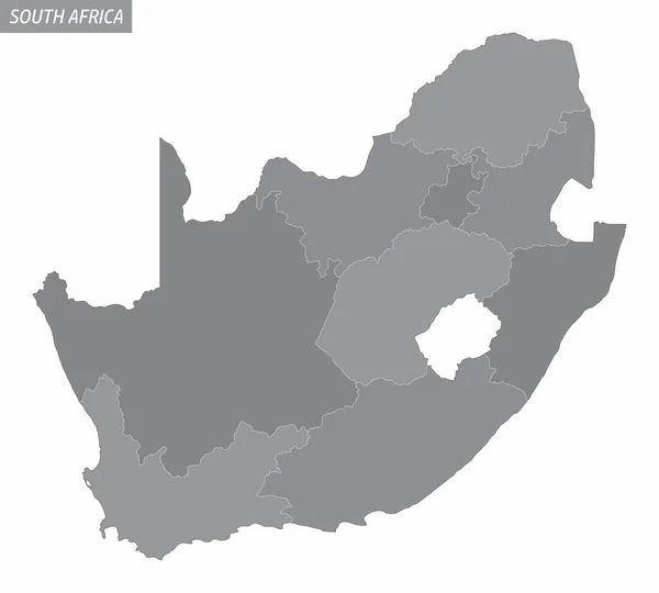
The South Africa Administrative Map Divided In Grayscale And Isolated On White Background
5000 × 4802