photo free
Home Images Vectors Videos

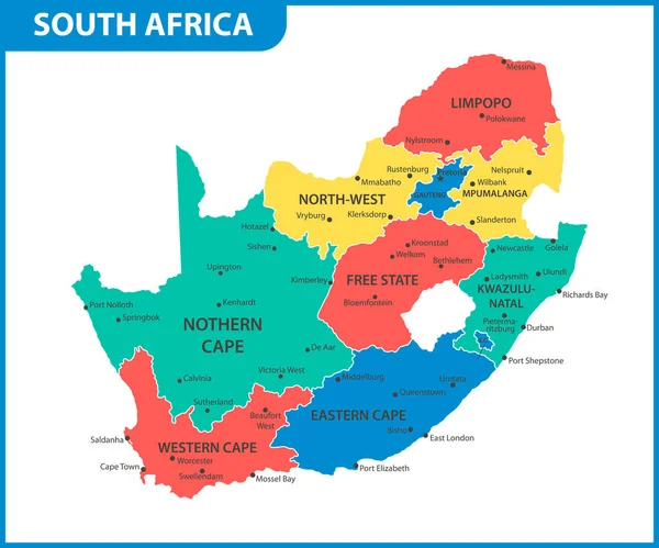
Stock vector The detailed map of South Africa with regions or states. Administrative division

Stock vector The detailed map of South Africa with regions or states. Administrative division
Published: Apr.18, 2022 12:49:49
Author: -panya-
Views: 26
Downloads: 1
File type: vector / eps
File size: 0.68 MB
Orginal size: 6000 x 5000 px
Available sizes:
S
(500 x 417)
M
(1000 x 833)
L
(2000 x 1667)
XL
(6000 x 5000)
VECT
(6000 x 5000)
EL0
(6000 x 5000)
Level: bronze
Download Vector
Vector topics:

Similar stock vectors

stock vector The detailed map of South Africa with regions or states and cities, capital. Administrative division

The Detailed Map Of South Africa With Regions Or States And Cities, Capital. Administrative Division

6000 × 5000
stock vector The detailed map of South Africa with regions or states and cities, capital. Administrative division

The Detailed Map Of South Africa With Regions Or States And Cities, Capital. Administrative Division

6000 × 5000
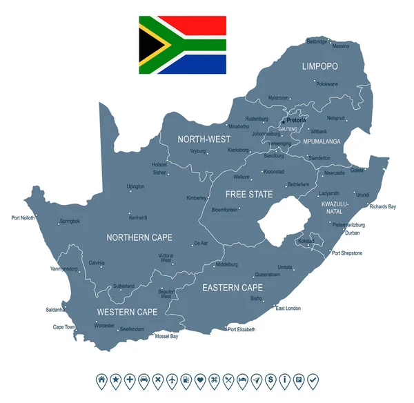
stock vector South Africa - map and flag - illustration

South Africa - Map And Flag - Illustration

6053 × 5900
stock image North West red highlighted in map of South Africa

North West Red Highlighted In Map Of South Africa

6482 × 5600
stock image Eastern Cape red highlighted in map of South Africa

Eastern Cape Red Highlighted In Map Of South Africa

6482 × 5600
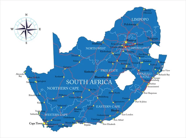
stock vector South Africa highly detailed vector map with administrative regions, main cities and roads.

South Africa Highly Detailed Vector Map With Administrative Regions, Main Cities And Roads.

5000 × 3712
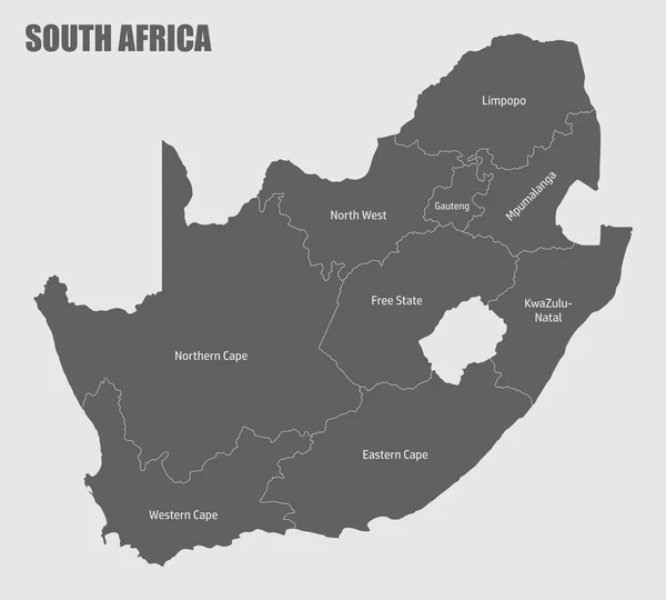
stock vector The South Africa administrative map divided in provinces with labels

The South Africa Administrative Map Divided In Provinces With Labels

5000 × 4502
stock vector Vector map of South Africa with provinces and administrative divisions. Editable and clearly labeled layers.

Vector Map Of South Africa With Provinces And Administrative Divisions. Editable And Clearly Labeled Layers.

5200 × 4000