Home
Images
Vectors
Videos
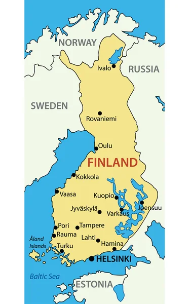
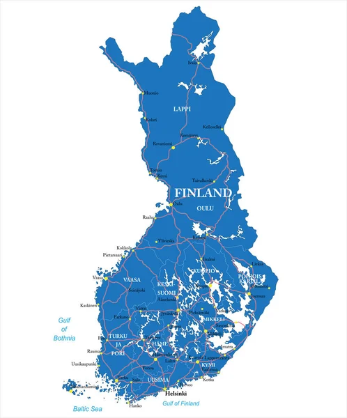
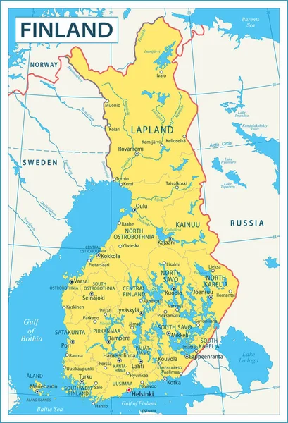
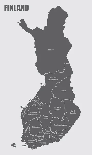
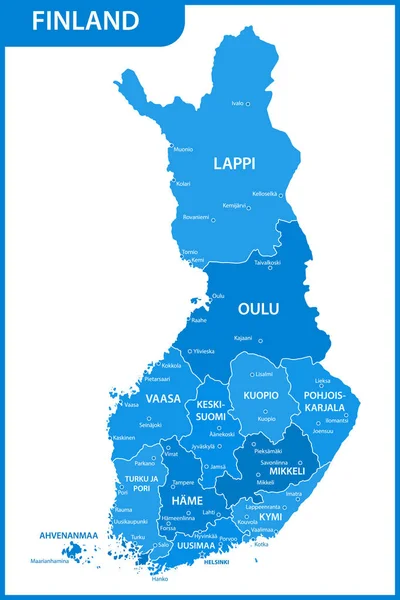
Stock vector The detailed map of the Finland with regions
Published:
Apr.18, 2022 12:49:49
Author:
-panya-
Views:
39
Downloads:
1
File type:
vector
/
eps
File size:
0.66 MB
Orginal size:
4000
x
6000
px
Available sizes:
S
(333 x 500)
M
(667 x 1000)
L
(1333 x 2000)
XL
(4000 x 6000)
VECT
(4000 x 6000)
EL0
(4000 x 6000)
Level:
bronze
Download Vector
Vector topics:
Vector
Background
Abstract
Silhouette
Border
Gray
Icon
Contour
Surface
Europe
Layout
Country
District
Map
Cartography
Geography
Area
National
Continent
Land
State
Topography
Administrative
Eu
Finland
Region
Division
Central
Karelia
Territory
Origin
Atlas
Mainland
Province
Nation
Mapping
Geographical
Viipuri
Oulu
Viborg
Uusimaa
Hame
Kexholm
Ostrobothnia
Nyslott
Savolax
Turku And Pori
Similar stock vectors
Finland Administrative Map. Isolated Map With Labels.
3000 × 5000
The Detailed Map Of The Finland With Regions Or States And Cities, Capitals
4000 × 6000
The Detailed Map Of The Finland With Regions Or States And Cities, Capitals
4000 × 6000
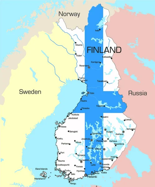
Detailed Map Of Finland Administrative Divisions With Country Flag And Location On The Globe.
5303 × 8368
Illustration Map Of Finland
4151 × 5000
Republic Of Finland - Vector Map
2114 × 3357
Highly Detailed Vector Map Of Finland With Administrative Regions,main Cities And Roads.
4151 × 5000
Map Of Finland - Highly Detailed Vector Illustration
3610 × 5288