Home
Images
Vectors
Videos
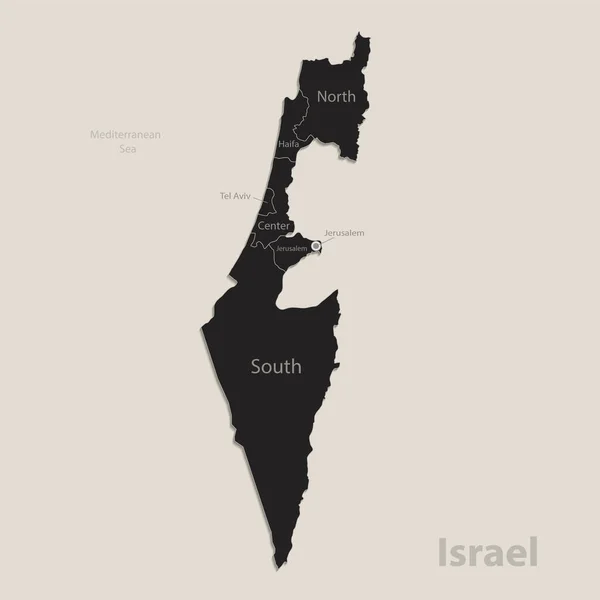
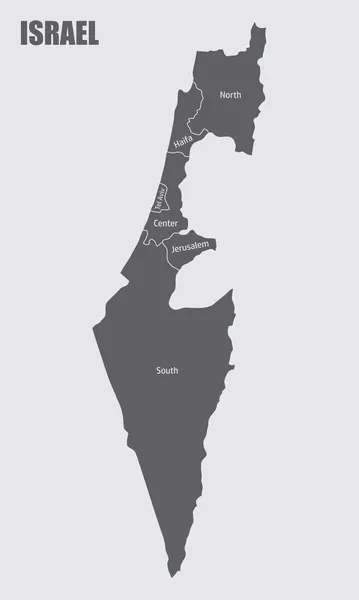
Stock vector The Israel isolated administrative map with labels
Published:
Nov.18, 2021 08:51:24
Author:
luisrftc
Views:
8
Downloads:
0
File type:
vector
/
eps
File size:
8.15 MB
Orginal size:
3000
x
5000
px
Available sizes:
S
(300 x 500)
M
(600 x 1000)
L
(1200 x 2000)
XL
(3000 x 5000)
VECT
(3000 x 5000)
EL0
(3000 x 5000)
Level:
bronze
Download Vector
Vector topics:
Color
White
Vector
Background
Graphic
Illustration
Design
Isolated
Shape
Holiday
Art
Travel
Abstract
Texture
Black
Cut
Line
Border
Flag
Gray
Symbol
Concept
Icon
City
Contour
Grey
Wallpaper
Earth
World
Detailed
Outline
Country
Map
Cartography
Geography
National
Land
Asia
State
Chart
Boundary
Political
Administrative
Jerusalem
Israel
Region
Territory
Atlas
Nation
Similar stock vectors
Black Map Of Israel With Names Of Regions, Design Blackboard Vector
4100 × 4100
Outline Map Of Israel. Vector Illustration.
5000 × 5000
Vector Highly Detailed Political Map Of Israel With Regions And Their Capitals. All Elements Are Separated In Editable Layers Clearly Labeled.EPS 10
7000 × 7000
Israel - Map And Flag Illustration
3950 × 8700
Israel Map, Administrative Division, Separate Individual Regions With Names, Color Map Isolated On White Background Vector
4083 × 4100
The Detailed Map Of The Israel With Regions
4000 × 7546
The Detailed Map Of The Israel With Regions Or States And Cities, Capitals
4000 × 7500
High Quality Map Of Israel . Vector Illustration
4000 × 4000