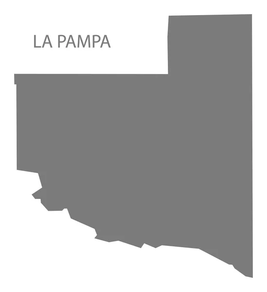
Stock vector The La Pampa province isolated map divided in departments with labels, Argentina

Published: Apr.13, 2021 14:36:31
Author: luisrftc
Views: 1
Downloads: 0
File type: vector / eps
File size: 8.37 MB
Orginal size: 5000 x 5000 px
Available sizes:
Level: bronze