Home
Images
Vectors
Videos
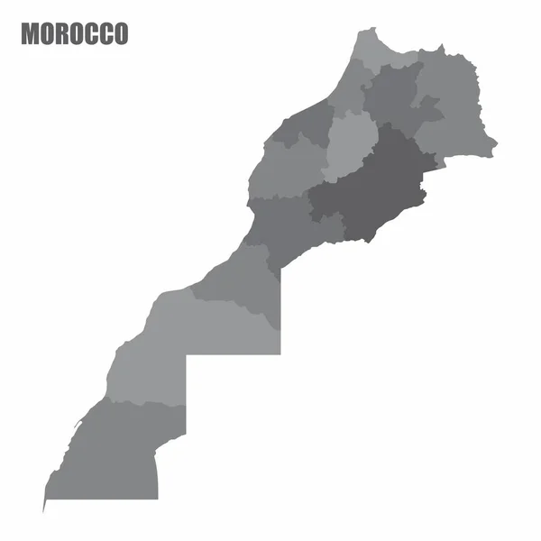
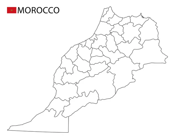
Stock vector The Morocco isolated map divided in regions with Western Sahara
Published:
Jan.25, 2021 08:31:14
Author:
luisrftc
Views:
6
Downloads:
0
File type:
vector
/
eps
File size:
8.4 MB
Orginal size:
5000
x
5000
px
Available sizes:
S
(500 x 500)
M
(1000 x 1000)
L
(2000 x 2000)
XL
(5000 x 5000)
VECT
(5000 x 5000)
EL0
(5000 x 5000)
Level:
bronze
Download Vector
Vector topics:
White
Vector
Background
Illustration
Isolated
Shape
Travel
Texture
Dark
Silhouette
Border
Gray
Symbol
City
Physical
Contour
World
North
East
Outline
Country
Map
Cartography
Geography
Plan
Area
National
Africa
Continent
Desert
State
Middle
Chart
Topography
Borders
Scheme
Political
Republic
Kingdom
Region
Territory
Atlas
Morocco
Arabs
Names
Marrakesh
Rabat
Western Sahara
Vector Map Morocco
Similar stock vectors
Morocco Regions Map
5000 × 5000
High Quality Map With Borders
4000 × 4000
Morocco Highly Detailed Vector Map With Administrative Regions, Main Cities And Roads.
5000 × 4441
Vector Illustration Of Outline Map Of Morocco. High-detail Border Map. Silhouette Of A Country Map Isolated On A White Background. Map For Infographic And Geographic Information.
4000 × 4000
Morocco Silhouette Map
5000 × 4100
Isometric Map Of Morocco Detailed Vector Illustration
6000 × 6000
Blue Map Of Morocco With Indication Of Biggest Cities
4200 × 3780
Morocco Map, Black And White Detailed Outline Regions Of The Country. Vector Illustration
6586 × 5223