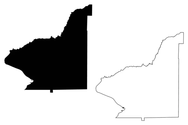
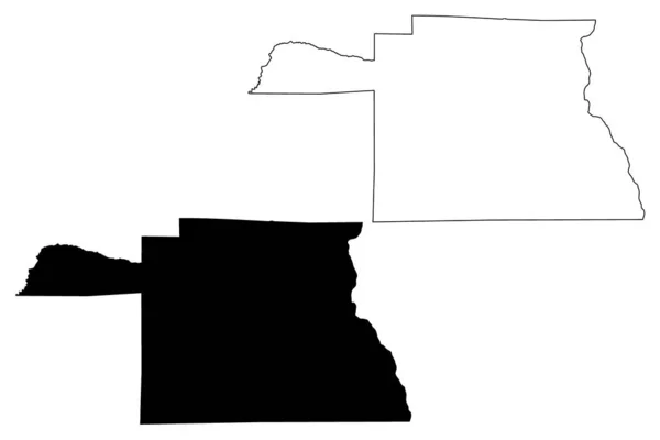
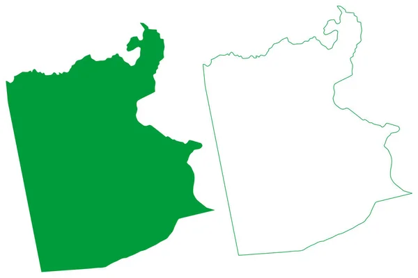
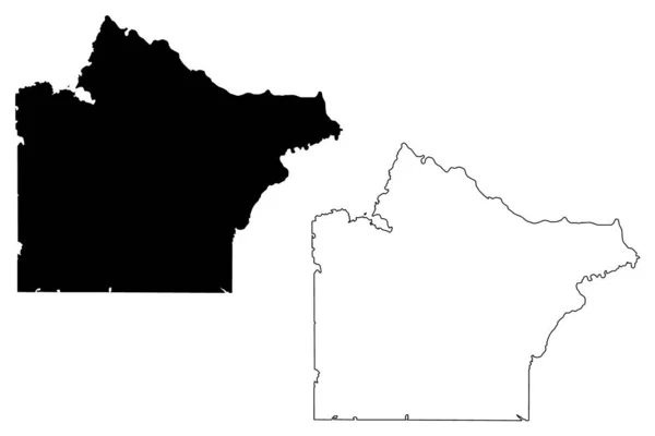
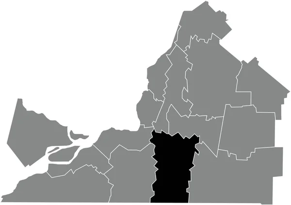
Stock vector The Rio Negro province isolated map divided in departments, Argentina

Published: Apr.09, 2021 07:16:58
Author: luisrftc
Views: 16
Downloads: 1
File type: vector / eps
File size: 8.09 MB
Orginal size: 5000 x 3000 px
Available sizes:
Level: bronze