Home
Images
Vectors
Videos
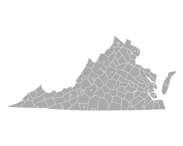
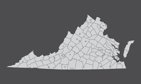
Stock vector The Virginia State administrative map isolated on dark background
Published:
Jul.16, 2023 15:02:24
Author:
luisrftc
Views:
3
Downloads:
0
File type:
vector
/
eps
File size:
8.26 MB
Orginal size:
5000
x
3000
px
Available sizes:
S
(500 x 300)
M
(1000 x 600)
L
(2000 x 1200)
XL
(5000 x 3000)
VECT
(5000 x 3000)
EL0
(5000 x 3000)
Level:
bronze
Download Vector
Vector topics:
Background
Illustration
Design
Isolated
Shape
Black
Line
Silhouette
Border
Gray
Grey
North
Outline
Map
Cartography
Geography
Franklin
Location
America
Petersburg
Federal
Province
Virginia
County
Stafford
Roanoke
Augusta
Chesterfield
Henry
Richmond
Arlington
Hanover
Northumberland
Mecklenburg
Montgomery
Frederick
Campbell
Counties
Fairfax
Bedford
Amherst
Manassas
Gray Background
Leesburg
Prince George
Albemarle
Prince William
Rockingham
Smyth
Culpeper
Similar stock vectors
Virginia VA State Border USA Map Outline
8334 × 8334
Gray Outline Counties Map Of US State Of Virginia
4800 × 3600
Virginia VA State Border USA Map Solid
8334 × 8334
Black Map State Virginia - Vector Illustration.
7500 × 6000
Virginia US Map. VA USA State Map. Black And White Virginian State Border Boundary Line Outline Geography Territory Shape Vector Illustration EPS Clipart
5000 × 4000
Virginia, State Of USA - Solid Black Outline Map Of Country Area. Simple Flat Vector Illustration
5000 × 5000
Map Of Winchester In Virginia
5000 × 4000
Map Of Falls Church In Virginia
5000 × 4000