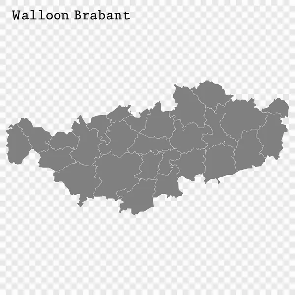
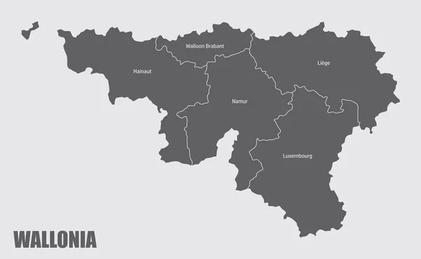
Stock vector The Walloon Brabant, Belgium. Administrative map with labels.

Published: Mar.04, 2023 17:07:12
Author: luisrftc
Views: 0
Downloads: 0
File type: vector / eps
File size: 8.56 MB
Orginal size: 5000 x 3000 px
Available sizes:
Level: bronze