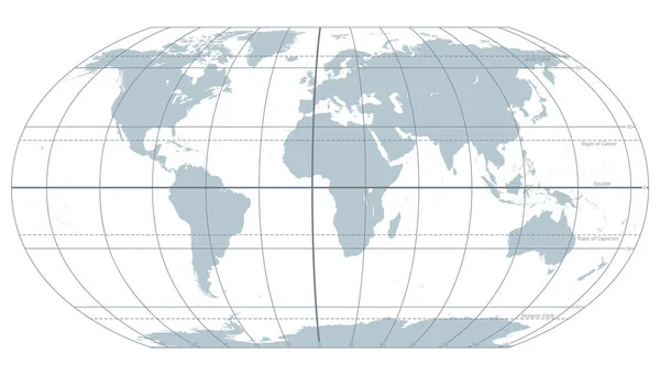
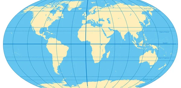
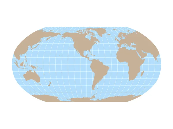
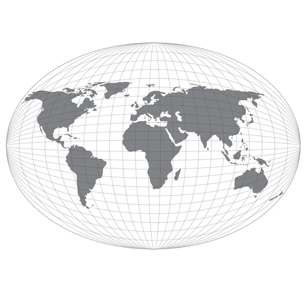
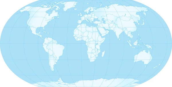
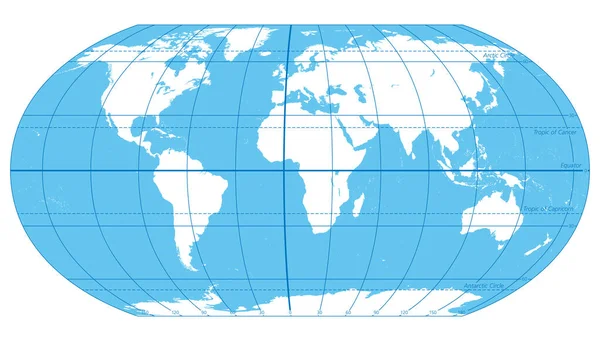
Stock vector The World, important circles of latitudes and longitudes, blue colored political map. Equator, Greenwich meridian, Arctic and Antarctic Circle, Tropic of Cancer and Capricorn. Illustration. Vector.
Published: Jul.26, 2022 16:17:53
Author: Furian
Views: 97
Downloads: 5
File type: vector / eps
File size: 3.38 MB
Orginal size: 9000 x 5115 px
Available sizes:
Level: silver