Home
Images
Vectors
Videos
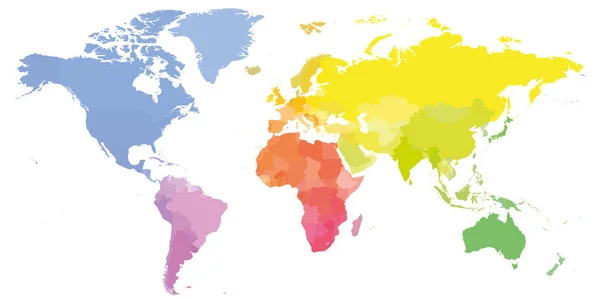
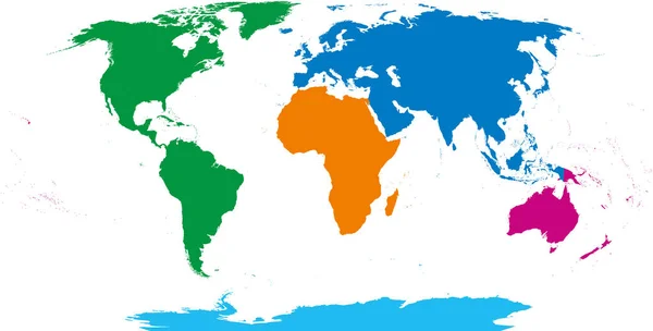
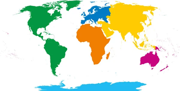
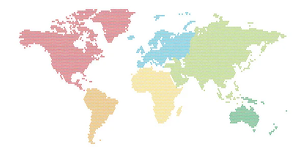
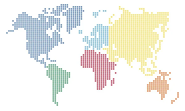
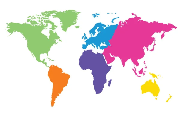
Stock vector The world map is divided into six continents in different colors. Each continent in a different color. Colorful map of the world of 6 isolated continents.
Published:
May.05, 2023 13:38:43
Author:
Paoloboa
Views:
2
Downloads:
0
File type:
vector
/
eps
File size:
5.85 MB
Orginal size:
6000
x
3500
px
Available sizes:
S
(500 x 292)
M
(1000 x 583)
L
(2000 x 1167)
XL
(6000 x 3500)
VECT
(6000 x 3500)
EL0
(6000 x 3500)
Level:
beginner
Download Vector
Vector topics:
Green
Color
Red
Yellow
White
Blue
Vector
Colorful
Graphic
Design
Isolated
Bright
Business
Travel
Sea
Border
Modern
Global
Flat
Education
Earth
Planet
World
Usa
Ocean
Detailed
North
Europe
Globe
East
South
Name
Country
Map
Cartography
Geography
Africa
Continent
Worldwide
Asia
Chart
America
Australia
Geographic
Region
Oceania
Atlas
Zone
Similar stock vectors
Colorful Political Map Of World
8000 × 4000
Five Continents, World Map. Africa, America, Antarctica, Australia And Eurasia. Outline And Colored Shapes Under Robinson Projection. Isolated On White Background. Vector.
9933 × 5039
Six Continents, World Map. Africa, America, Antarctica, Asia, Australia And Europe. Outline And Colored Shapes. Robinson Projection. Isolated On White Background. Vector.
10633 × 5394
Dotted Map Of World With Different Color Of Each Continent. Halftone Design. Simple Flat Vector Illustration.
6000 × 3000
Abstravt World Map From Dots
7830 × 4724
World Map Vector Illustration
5440 × 3280
Illustration Of World Map. Travel Agency Concept
9803 × 6181
World Map Vector Isolated On White Background. Flat Earth Gray Similar Template For Web Site Pattern
5000 × 3333