Home
Images
Vectors
Videos
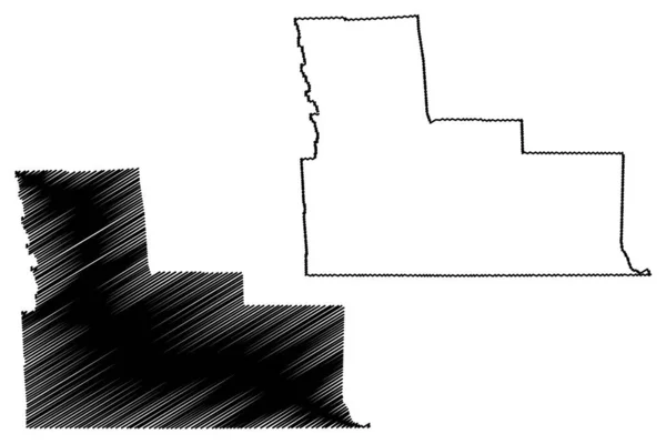
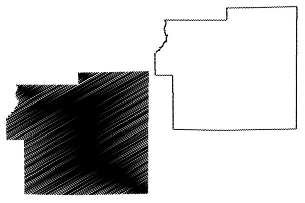
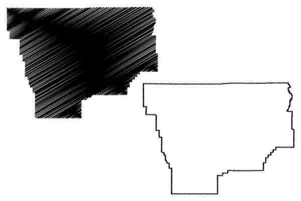
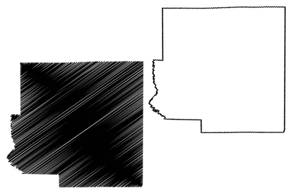
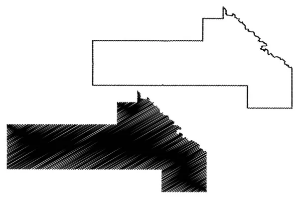
Stock vector Timiskaming District (Canada, Ontario Province, North America) map vector illustration, scribble sketch Timiskaming map
Published:
Apr.21, 2024 07:52:22
Author:
Danler
Views:
0
Downloads:
0
File type:
vector
/
eps
File size:
0.8 MB
Orginal size:
7087
x
4726
px
Available sizes:
S
(500 x 333)
M
(1000 x 667)
L
(2000 x 1334)
XL
(7087 x 4726)
VECT
(7087 x 4726)
EL0
(7087 x 4726)
Level:
bronze
Download Vector
Vector topics:
Vector
Illustration
Isolated
Sign
Travel
Abstract
Line
Silhouette
Border
Symbol
Icon
City
Contour
Drawing
American
Scratch
Tourism
Town
North
Sketch
Outline
Country
District
Map
Cartography
Geography
Area
National
Topography
America
Boundary
Canada
Region
Scribble
Doodle
Insignia
Territory
County
Ontario
Timiskaming
Similar stock vectors
Clay County, Illinois (U.S. County, United States Of America, USA, U.S., US) Map Vector Illustration, Scribble Sketch Clay Map
7087 × 4726
Broome County, New York State (U.S. County, United States Of America, USA, U.S., US) Map Vector Illustration, Scribble Sketch Broome Map
7087 × 4726
Morgan County, Indiana (U.S. County, United States Of America, USA, U.S., US) Map Vector Illustration, Scribble Sketch Morgan Map
7087 × 4726
Musselshell County, Montana (U.S. County, United States Of America, USA, U.S., US) Map Vector Illustration, Scribble Sketch Musselshell Map
7087 × 4726
Richland County, Illinois (U.S. County, United States Of America, USA, U.S., US) Map Vector Illustration, Scribble Sketch Richland Map
7087 × 4726
Jefferson County, Idaho (U.S. County, United States Of America, USA, U.S., US) Map Vector Illustration, Scribble Sketch Jefferson Map
7087 × 4726
Yellow Medicine County, Minnesota (U.S. County, United States Of America, USA, U.S., US) Map Vector Illustration, Scribble Sketch Yellow Medicine Map
7087 × 4726
Pulaski County, Arkansas (U.S. County, United States Of America,USA, U.S., US) Map Vector Illustration, Scribble Sketch Pulaski Map
7087 × 4726