Home
Images
Vectors
Videos
Stock vector Timor-Leste map. Borders of Timor-Leste for your infographic. Vector country shape. Vector illustration.
Published:
Jan.31, 2023 09:13:20
Author:
gagarych
Views:
0
Downloads:
0
File type:
vector
/
eps
File size:
0.27 MB
Orginal size:
9105
x
3304
px
Available sizes:
S
(500 x 181)
M
(1000 x 363)
L
(2000 x 726)
XL
(9105 x 3304)
VECT
(9105 x 3304)
EL0
(9105 x 3304)
Level:
bronze
Download Vector
Vector topics:
Blue
Vector
Background
Graphic
Illustration
Design
High
Isolated
Shape
Business
Travel
Abstract
Transportation
Black
Silhouette
Border
Symbol
Concept
Information
Earth
World
Detailed
Globe
East
South
Eastern
Outline
Country
Map
Cartography
Geography
Asia
Patriotism
Government
Unity
Republic
Citizenship
Territory
Citizen
Democratic
Geo
Nationality
Timor
Leste
Timorese
Dili
Infographics
Timor Leste Map
Map Map
Similar stock vectors
Papua New Guinea Map Blank Vector Map Of The Country With Regions Borders Of Papua New Guinea For
6649 × 4531
Map Of Canary Islands, Spain, With Labels Of Each Island - El Hierro, La Palma, La Gomera, Tenerife, Gran Canaria, Fuerteventura And Lanzarote. Black Vector Silhouette On White Background
4800 × 3600
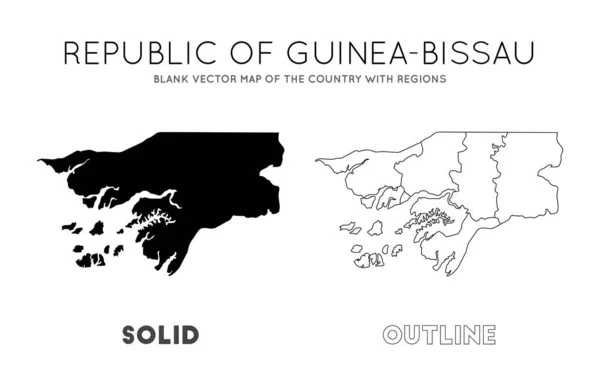
GuineaBissau Map Blank Vector Map Of The Country With Regions Borders Of GuineaBissau For Your
6858 × 4411
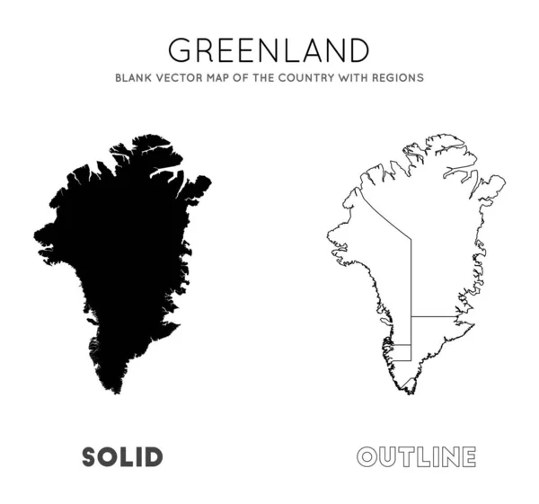
Greenland Map Blank Vector Map Of The Country With Regions Borders Of Greenland For Your
5671 × 5306
Brunei Map Blank Vector Map Of The Country With Regions Borders Of Brunei For Your Infographic
6489 × 4663
Falklands Map. Blank Vector Map Of The Country. Borders Of Falklands For Your Infographic. Vector Illustration.
6754 × 4449
Countries Map Infographic. Global Business Marketing Presentation. World Transportation Data. Economic Statistic Template. 4 Regions. 16x9 Slide. Europe, USA, Africa, Australia.
6400 × 3600
Cat Ba Island Map Blank Vector Map Of The Island Borders Of Cat Ba Island For Your Infographic
6123 × 4920