Home
Images
Vectors
Videos
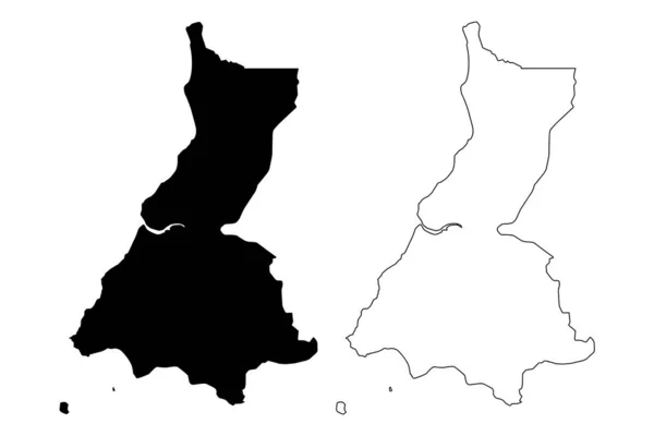
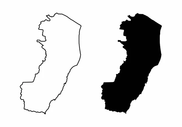
Stock vector Tokashiki island, Kerama map. Vector illustration
Published:
Sep.21, 2022 15:44:18
Author:
majborodinruslan1990.icloud.com
Views:
1
Downloads:
0
File type:
vector
/
eps
File size:
5.55 MB
Orginal size:
8334
x
8334
px
Available sizes:
S
(500 x 500)
M
(1000 x 1000)
L
(2000 x 2000)
XL
(8334 x 8334)
VECT
(8334 x 8334)
EL0
(8334 x 8334)
Level:
beginner
Download Vector
Vector topics:
Vector
Graphic
Illustration
Design
Isolated
Shape
Simplicity
Travel
Silhouette
Border
Flag
Symbol
Icon
Contour
Shadow
Simple
World
Template
Detailed
Japanese
Outline
Country
District
Map
Cartography
Geography
Area
Land
Asia
Japan
Topography
Boundary
Island
Political
Administrative
Region
Prefecture
Territory
Atlas
Province
Atoll
Nation
County
Isle
Kerama
Clip Art
Cut Out
Computer Graphic
Tokashiki
Similar stock vectors
Outline Map Of Sweden On White Background. EU Country, State In Europe.
4000 × 4000
Portugal Map Icon Vector Illustration Design
8459 × 8459
Litoral (Republic Of Equatorial Guinea, Provinces Of Equatorial Guinea) Map Vector Illustration, Scribble Sketch Litoral Province Map
7087 × 4726
Outline Map Of Portugal White Background. Vector Map With Contour.
4000 × 4000
Black And White Maps Of The Espirito Santo State, Brazil
5000 × 3500
Black Silhouette Of A Map Of The City Of Esprito Santo In Brazil On A White Background
5000 × 3000
Map Of Sweden Illustrated On A White Background
8000 × 7000
Outline Map Of Portugal White Background. Vector Map With Contour.
4000 × 4000