Home
Images
Vectors
Videos
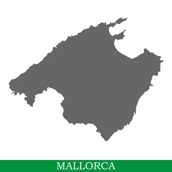
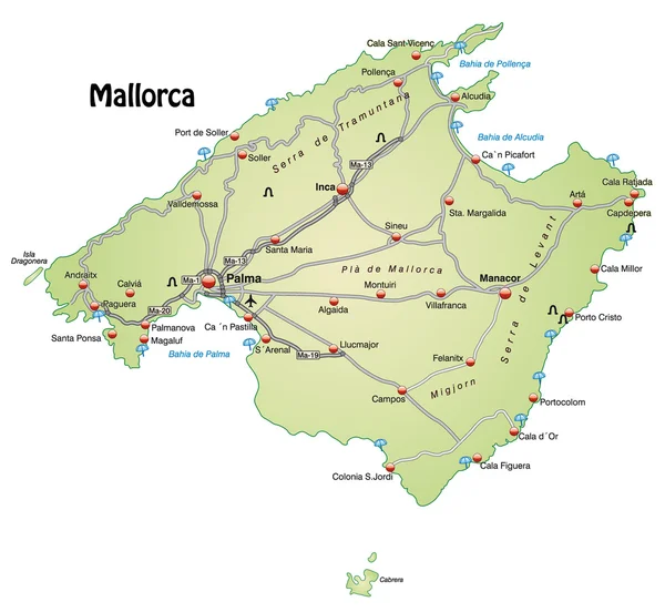
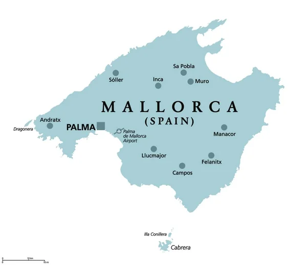
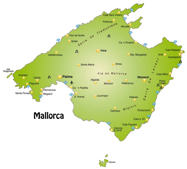
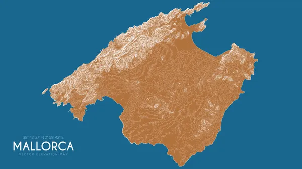
Stock vector Topographic map of Mallorca, Balearic Islands, Spain. Vector detailed elevation map of island. Geographic elegant landscape outline poster.
Published:
Nov.12, 2021 13:46:55
Author:
GarryKillian_
Views:
7
Downloads:
0
File type:
vector
/
eps
File size:
11.12 MB
Orginal size:
6000
x
3375
px
Available sizes:
S
(500 x 281)
M
(1000 x 563)
L
(2000 x 1125)
XL
(6000 x 3375)
VECT
(6000 x 3375)
EL0
(6000 x 3375)
Level:
bronze
Download Vector
Vector topics:
Vector
Background
Design
Space
Travel
Water
Light
Pattern
Mountain
Line
Landscape
Concept
Physical
Contour
Grid
Relief
Detailed
Landmark
Europe
Navigation
Elevation
Outline
Country
Map
Cartography
Geography
Plan
Land
Mediterranean
Spain
Topography
Terrain
Island
Destination
Geographic
Heights
Legend
Coordinate
Mallorca
Topographic
Topo
Balearic Islands
Isoline
Similar stock vectors
High Quality Map Of Mallorca Is The Island Of Spain. Balearic Islands
4000 × 4000
Abstract Mallorca, Balearic Islands Outline Shape
7000 × 7000
Mallorca
4300 × 3958
Mallorca, Gray Political Map, With Capital Palma And Important Towns. Majorca, Largest Island Of The Autonomous Community Of The Balearic Islands, Part Of Spain, Located In Mediterranean Sea. Vector.
4000 × 3849
The Card Is Modern In Design And Contains All The Important Topographic Information ... The Card Can Be Used Immediately And Is Optimized For Printing And Use In Digital Media. The Color Mode Is Rgb.
4616 × 4168
Mallorca
4300 × 3894
Vector Mallorca Map Of Points
4767 × 3667
Mallorca-Menorca
7955 × 5549