photo free
Home Images Vectors Videos

Stock vector Topographic Relief Peaks and Valleys Map of US Federal State of Minnesota

Stock vector Topographic Relief Peaks and Valleys Map of US Federal State of Minnesota
Published: Nov.06, 2020 11:31:14
Author: momcilo.jovanov
Views: 0
Downloads: 0
File type: vector / eps
File size: 1.74 MB
Orginal size: 3600 x 4800 px
Available sizes:
S
(375 x 500)
M
(750 x 1000)
L
(1500 x 2000)
XL
(3600 x 4800)
VECT
(3600 x 4800)
EL0
(3600 x 4800)
Level: bronze
Download Vector
Vector topics:

Similar stock vectors

stock vector Topographic negative relief map of the Federal State of Minnesota, USA with white contour lines on dark gray background

Topographic Negative Relief Map Of The Federal State Of Minnesota, USA With White Contour Lines On Dark Gray Background

4700 × 5300
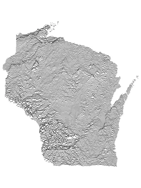
stock vector Topographic Relief Peaks and Valleys Map of US Federal State of Wisconsin

Topographic Relief Peaks And Valleys Map Of US Federal State Of Wisconsin

3600 × 4800
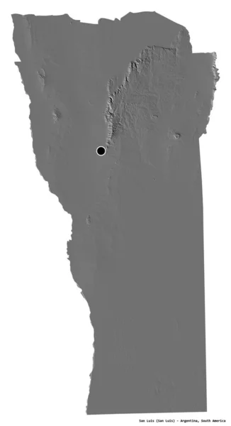
stock image Shape of San Luis, province of Argentina, with its capital isolated on white background. Bilevel elevation map. 3D rendering

Shape Of San Luis, Province Of Argentina, With Its Capital Isolated On White Background. Bilevel Elevation Map. 3D Rendering

2090 × 3836
stock vector Topographic Relief Peaks and Valleys Map of US Federal State of  South Dakota

Topographic Relief Peaks And Valleys Map Of US Federal State Of South Dakota

4800 × 3600
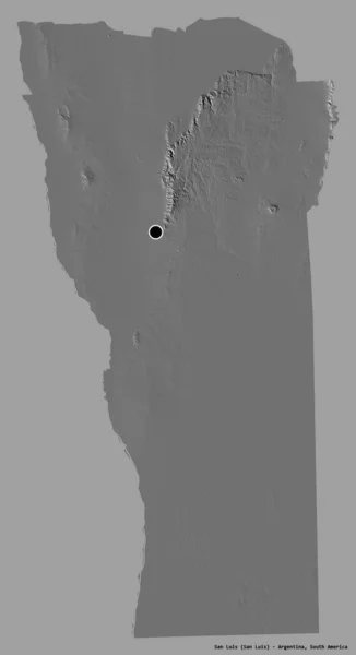
stock image Shape of San Luis, province of Argentina, with its capital isolated on a solid color background. Bilevel elevation map. 3D rendering

Shape Of San Luis, Province Of Argentina, With Its Capital Isolated On A Solid Color Background. Bilevel Elevation Map. 3D Rendering

2090 × 3836
stock image Shape of Saint James, parish of Jamaica, with its capital isolated on white background. Topographic relief map. 3D rendering

Shape Of Saint James, Parish Of Jamaica, With Its Capital Isolated On White Background. Topographic Relief Map. 3D Rendering

3116 × 3836
stock vector Harris County, Georgia (U.S. county, United States of America,USA, U.S., US) map vector illustration, scribble sketch Harris map

Harris County, Georgia (U.S. County, United States Of America,USA, U.S., US) Map Vector Illustration, Scribble Sketch Harris Map

7087 × 4726
stock vector Topographic Relief Peaks and Valleys Map of US Federal State of Iowa

Topographic Relief Peaks And Valleys Map Of US Federal State Of Iowa

4800 × 3600