photo free
Home Images Vectors Videos

Stock vector Tualauta County map, administrative division of American Samoa. Vector illustration.

Stock vector Tualauta County map, administrative division of American Samoa. Vector illustration.
Published: Mar.04, 2024 13:03:02
Author: majborodinruslan1990.icloud.com
Views: 2
Downloads: 1
File type: vector / eps
File size: 5.49 MB
Orginal size: 8333 x 8333 px
Available sizes:
S
(500 x 500)
M
(1000 x 1000)
L
(2000 x 2000)
XL
(8333 x 8333)
VECT
(8333 x 8333)
EL0
(8333 x 8333)
Level: beginner
Download Vector
Vector topics:

Similar stock vectors

stock vector Timor-Leste Map. Black silhouette country map isolated on white background. Black outline on white background. Vector file

Timor-Leste Map. Black Silhouette Country Map Isolated On White Background. Black Outline On White Background. Vector File

7970 × 7443
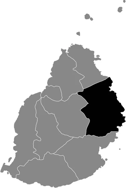
stock vector Black highlighted location map of the Mauritian Flacq district inside gray map of the Republic of Mauritius

Black Highlighted Location Map Of The Mauritian Flacq District Inside Gray Map Of The Republic Of Mauritius

4022 × 6000
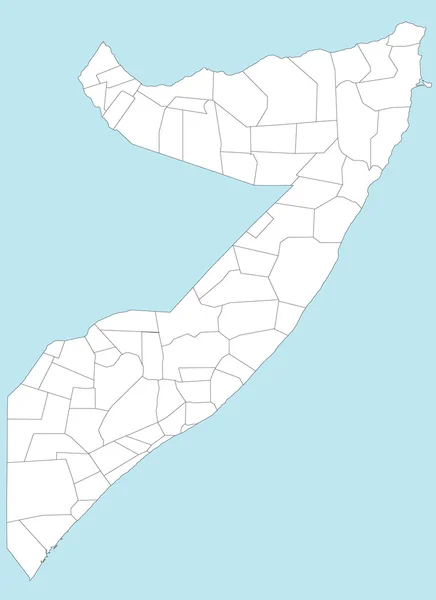
stock vector Map of Somalia

Map Of Somalia

3638 × 5000
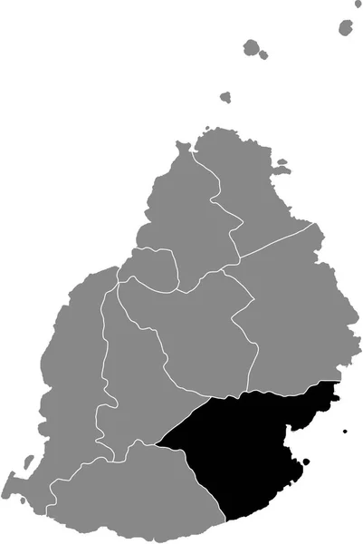
stock vector Black highlighted location map of the Mauritian Grand Port district inside gray map of the Republic of Mauritius

Black Highlighted Location Map Of The Mauritian Grand Port District Inside Gray Map Of The Republic Of Mauritius

4022 × 6000
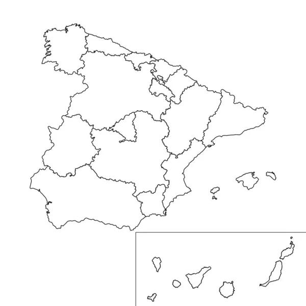
stock vector Spain regions map with Canary islands. Vector illustration.

Spain Regions Map With Canary Islands. Vector Illustration.

8334 × 8334
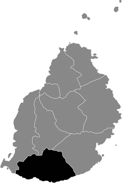
stock vector Black highlighted location map of the Mauritian Savanne district inside gray map of the Republic of Mauritius

Black Highlighted Location Map Of The Mauritian Savanne District Inside Gray Map Of The Republic Of Mauritius

4022 × 6000
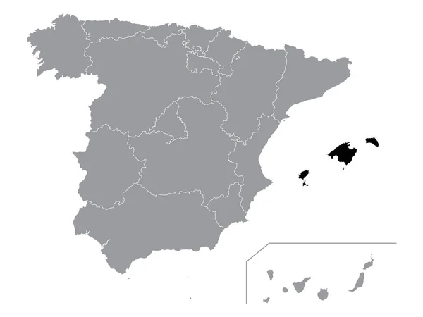
stock vector Black Location Map of Spanish Autonomous Community of Balearic Islands within Grey Map of Spain

Black Location Map Of Spanish Autonomous Community Of Balearic Islands Within Grey Map Of Spain

4800 × 3600