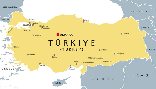
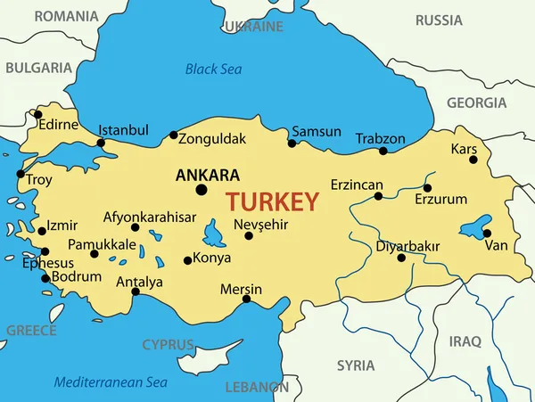
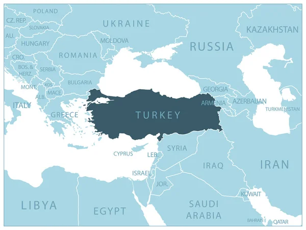
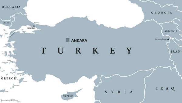
Stock vector Turkey Political Map
Published: Sep.23, 2014 06:49:59
Author: Furian
Views: 6395
Downloads: 15
File type: vector / eps
File size: 3.77 MB
Orginal size: 9000 x 5142 px
Available sizes:
Level: silver