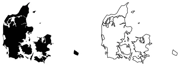
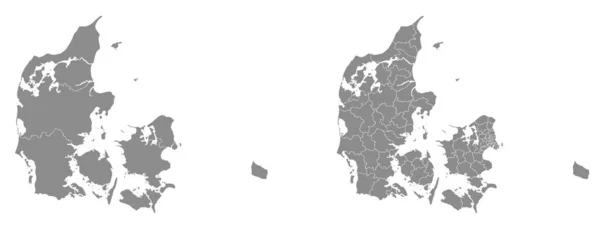
Stock vector Two detailed vector maps of Danish administrative regions and areas in grey color
Published: Jan.15, 2020 07:34:23
Author: Litteralis
Views: 22
Downloads: 3
File type: vector / eps
File size: 26.56 MB
Orginal size: 7026 x 2686 px
Available sizes:
Level: bronze