Home
Images
Vectors
Videos
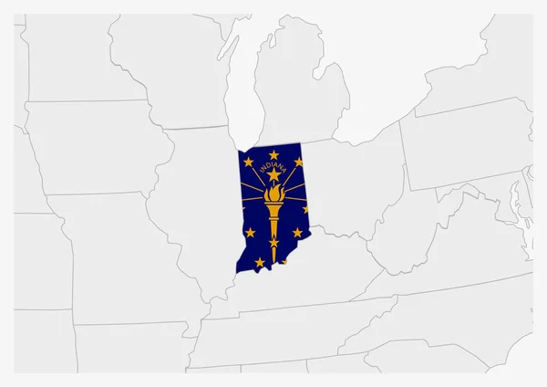
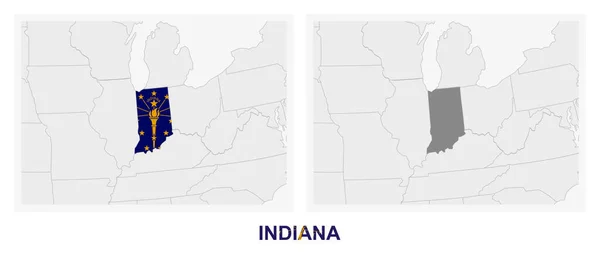
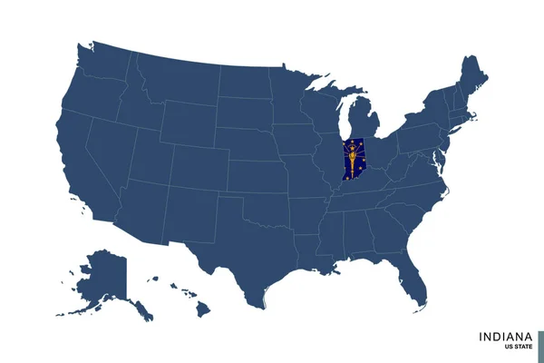
Stock vector Two versions of the map of US State Indiana, with the flag of Indiana and highlighted in dark grey. Vector map.
Published:
Jul.22, 2020 07:33:14
Author:
boldg
Views:
1
Downloads:
1
File type:
vector
/
eps
File size:
0.66 MB
Orginal size:
8000
x
3388
px
Available sizes:
S
(500 x 212)
M
(1000 x 424)
L
(2000 x 847)
XL
(8000 x 3388)
VECT
(8000 x 3388)
EL0
(8000 x 3388)
Level:
bronze
Download Vector
Vector topics:
Blue
Vector
Shape
Travel
Silhouette
Border
Flag
Symbol
Star
City
Two
Part
Contour
Grey
Us
Usa
North
Profile
Torch
Country
Map
Cartography
Geography
Continent
Tourist
Symbolic
State
Topography
America
Political
United
States
Region
Federal
Territory
Frontier
Highlighted
Subdivision
Indiana
Indianapolis
Versions
North America
United States
Indiana Flag
General Map
Amaerican
US State
Indiana Map
Similar stock vectors
State Of Indiana On Blue Map Of United States Of America. Flag And Map Of Indiana.
6000 × 4000
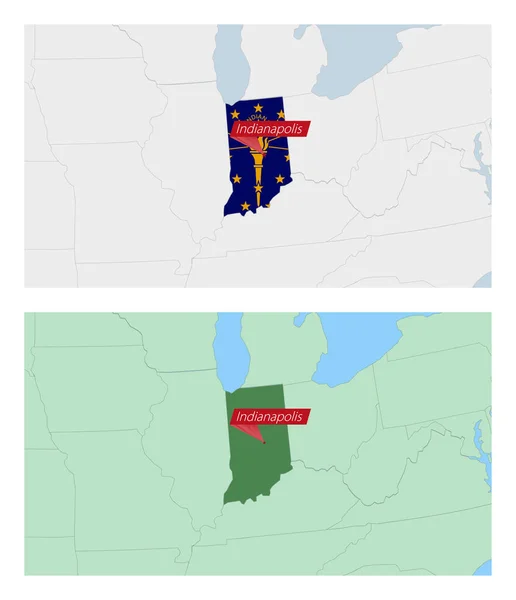
Indiana Map With Pin Of Country Capital. Two Types Of Indiana Map With Neighboring Countries.
5300 × 6150
Vector Dotted Map State Of Indiana Isolated On White Background .
5000 × 5000
Two Versions Of The Map Of US State Ohio, With The Flag Of Ohio And Highlighted In Dark Grey. Vector Map.
8000 × 3388
Two Versions Of The Map Of US State Kentucky, With The Flag Of Kentucky And Highlighted In Dark Grey. Vector Map.
8000 × 3388
US State Indiana Map Highlighted In Indiana Flag Colors
7071 × 5000
Indiana State On USA Map. Indiana Flag And Map.
5000 × 3663
Scribble Map Of Indiana Design Template.
5000 × 5000