Home
Images
Vectors
Videos
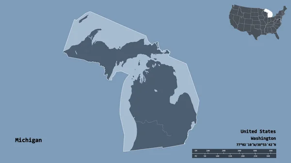
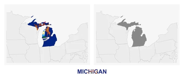
Stock vector Two versions of the map of US State Michigan, with the flag of Michigan and highlighted in dark grey. Vector map.
Published:
Jul.22, 2020 07:33:14
Author:
boldg
Views:
0
Downloads:
0
File type:
vector
/
eps
File size:
0.7 MB
Orginal size:
8000
x
3388
px
Available sizes:
S
(500 x 212)
M
(1000 x 424)
L
(2000 x 847)
XL
(8000 x 3388)
VECT
(8000 x 3388)
EL0
(8000 x 3388)
Level:
bronze
Download Vector
Vector topics:
Blue
Vector
Shape
Travel
Silhouette
Border
Flag
Symbol
City
Two
Part
Contour
Grey
Us
Usa
North
Profile
Country
Map
Cartography
Geography
Continent
Tourist
Symbolic
State
Topography
America
Political
United
States
Region
Federal
Territory
Frontier
Highlighted
Subdivision
Michigan
Versions
Lansing
North America
United States
Michigan Flag
General Map
Amaerican
US State
Michigan Map
Similar stock vectors
Polygonal Spectrum Map Of Michigan State With Diagonal Gradient
5652 × 4286
Two Versions Of The Map Of US State Wisconsin, With The Flag Of Wisconsin And Highlighted In Dark Grey. Vector Map.
8000 × 3388
Mosaic Michigan State Map Of Square Elements
4100 × 3900
United States Of America Isolated Map And Wisconsin State Territory. Vector USA Political Map. Geographic Banner Template
6000 × 4000
Michigan County Maps
5450 × 3100
Shape Of Michigan, State Of Mainland United States, With Its Capital Isolated On Solid Background. Distance Scale, Region Preview And Labels. Colored Elevation Map. 3D Rendering
2880 × 1620
Accurate Map Of Michigan
4000 × 5000
US State Michigan Map Highlighted In Michigan Flag Colors
7071 × 5000