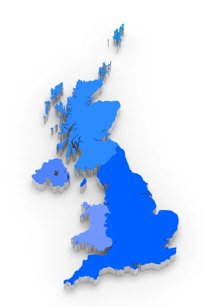
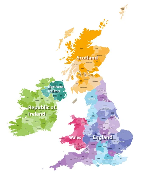
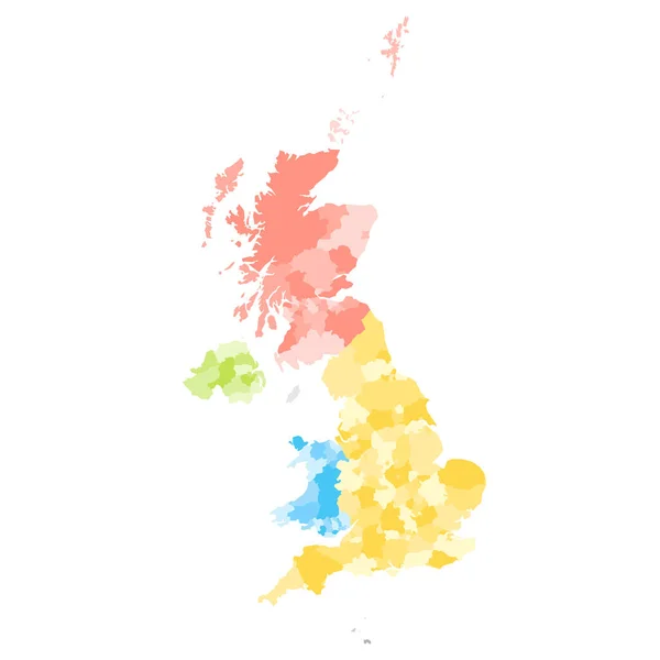
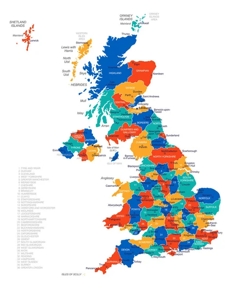
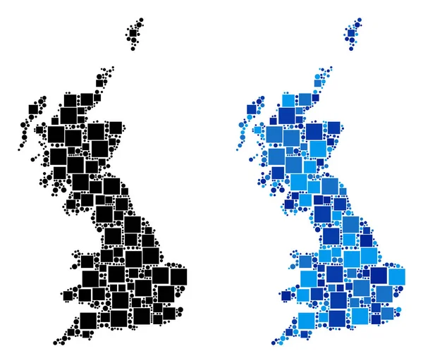
Stock vector United Kingdom administrative districts vector high detailed map colored by regions and counties

Published: Dec.04, 2018 11:31:37
Author: Jktu_21
Views: 32
Downloads: 3
File type: vector / eps
File size: 10 MB
Orginal size: 5144 x 8333 px
Available sizes:
Level: silver