photo free
Home Images Vectors Videos

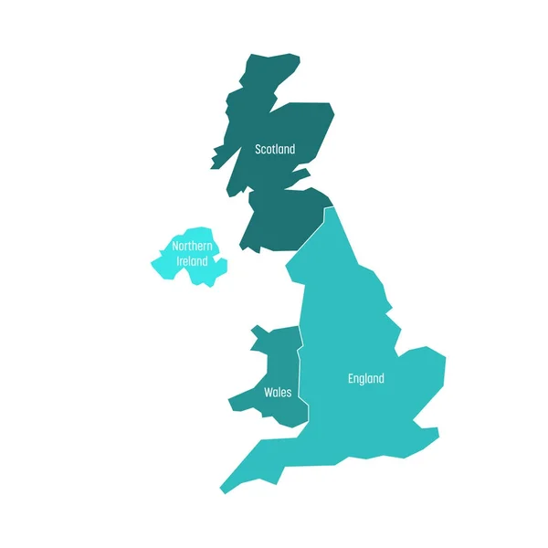
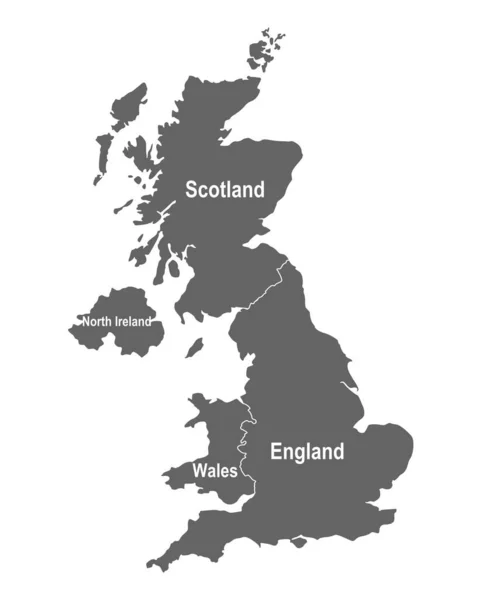
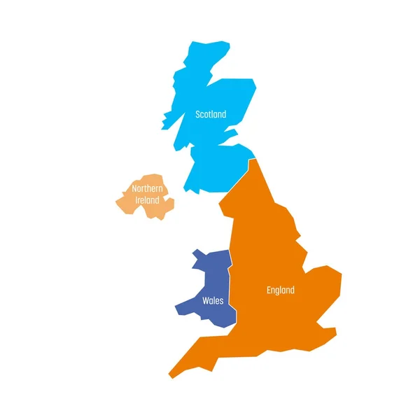
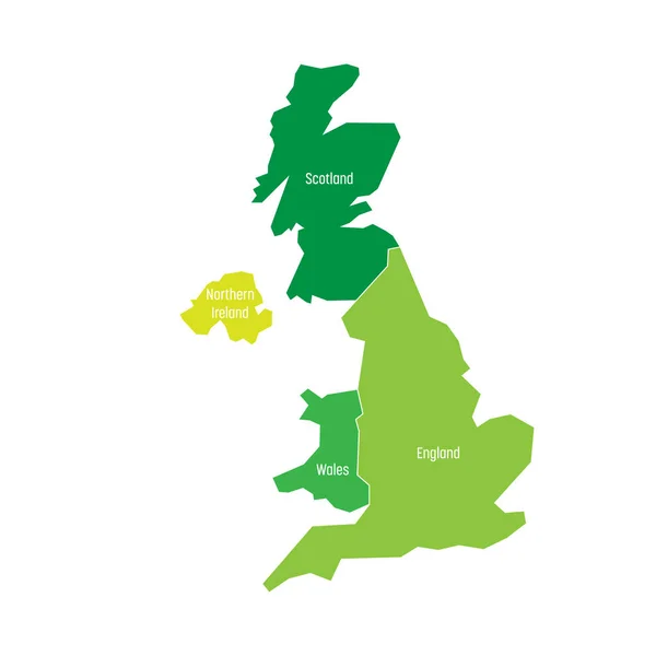
Stock vector United Kingdom map, administrative division, separate individual regions with names, color map isolated on white background vector
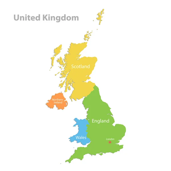
Stock vector United Kingdom map, administrative division, separate individual regions with names, color map isolated on white background vector
Published: Nov.08, 2021 08:53:22
Author: Mondi.h
Views: 14
Downloads: 1
File type: vector / eps
File size: 1.7 MB
Orginal size: 4100 x 4100 px
Available sizes:
S
(500 x 500)
M
(1000 x 1000)
L
(2000 x 2000)
XL
(4100 x 4100)
VECT
(4100 x 4100)
EL0
(4100 x 4100)
Level: bronze
Download Vector
Vector topics:

Similar stock vectors

stock vector United Kingdom, UK, of Great Britain and Northern Ireland map. Divided to four countries - England, Wales, Scotland and NI. Simple flat vector illustration

United Kingdom, UK, Of Great Britain And Northern Ireland Map. Divided To Four Countries - England, Wales, Scotland And NI. Simple Flat Vector Illustration

4000 × 4000
stock vector United Kingdom and regions of England

United Kingdom And Regions Of England

4207 × 6142
stock vector United Kingdom, aka UK, of Great Britain and Northern Ireland hand-drawn blank map. Divided to four countries - England, Wales, Scotland and NI. Simple flat vector illustration

United Kingdom, Aka UK, Of Great Britain And Northern Ireland Hand-drawn Blank Map. Divided To Four Countries - England, Wales, Scotland And NI. Simple Flat Vector Illustration

6000 × 6000
stock vector Map of Great Britain with Constituent Countries

Map Of Great Britain With Constituent Countries

4000 × 5000
stock vector United Kingdom, UK, of Great Britain and Northern Ireland map. Divided to four countries - England, Wales, Scotland and NI. Simple flat vector illustration

United Kingdom, UK, Of Great Britain And Northern Ireland Map. Divided To Four Countries - England, Wales, Scotland And NI. Simple Flat Vector Illustration

4000 × 4000
stock vector The detailed map of the United Kingdom with regions or states and cities, capitals. Actual current relevant UK, Great Britain administrative devision.

The Detailed Map Of The United Kingdom With Regions Or States And Cities, Capitals. Actual Current Relevant UK, Great Britain Administrative Devision.

5000 × 6500
stock vector United Kingdom, UK, of Great Britain and Northern Ireland map. Divided to four countries - England, Wales, Scotland and NI. Simple flat vector illustration

United Kingdom, UK, Of Great Britain And Northern Ireland Map. Divided To Four Countries - England, Wales, Scotland And NI. Simple Flat Vector Illustration

4000 × 4000