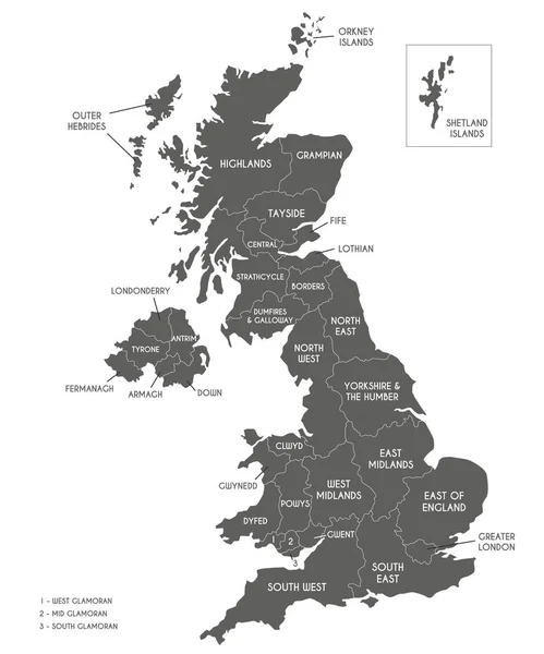
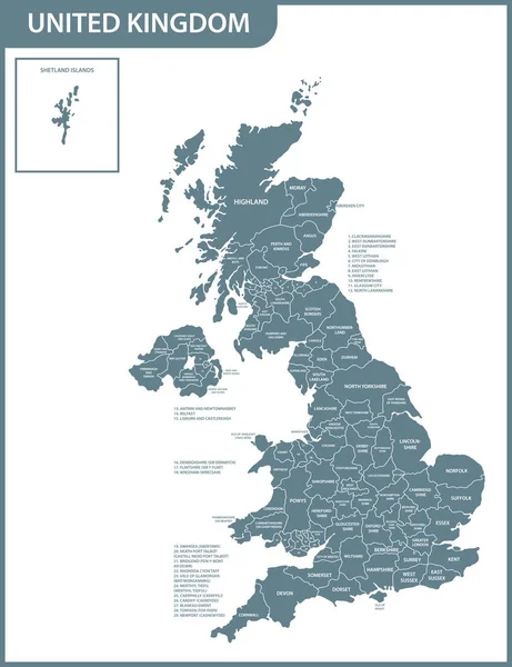
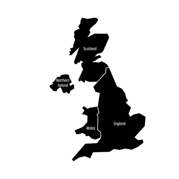
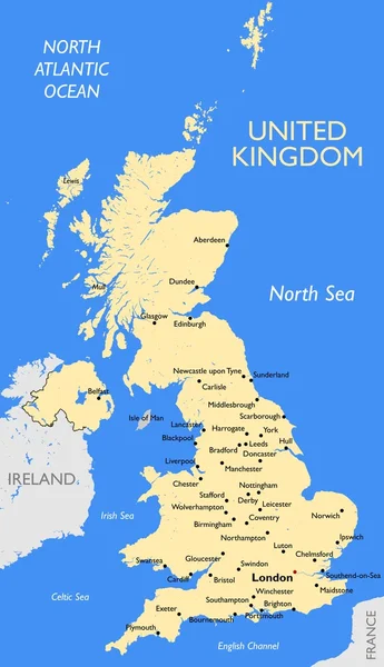
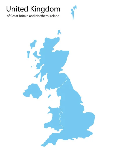
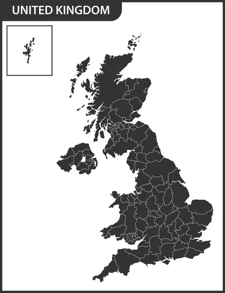
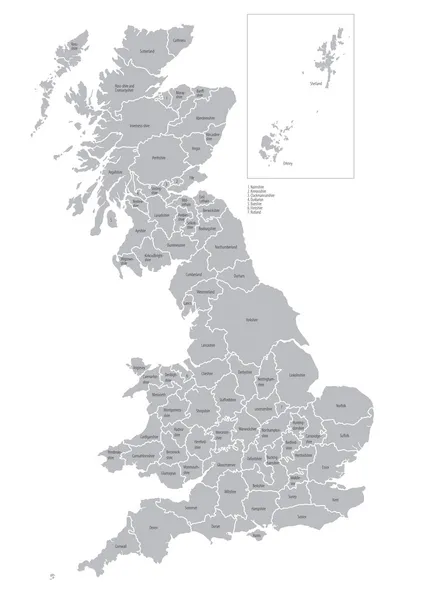
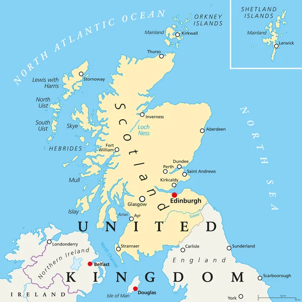
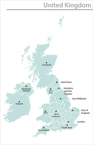
Stock vector United Kingdom map illustration vector detailed United Kingdom map with state names
Published: Jan.14, 2022 08:43:27
Author: mtesla
Views: 10
Downloads: 0
File type: vector / eps
File size: 6.17 MB
Orginal size: 4101 x 6384 px
Available sizes:
Level: beginner