Home
Images
Vectors
Videos
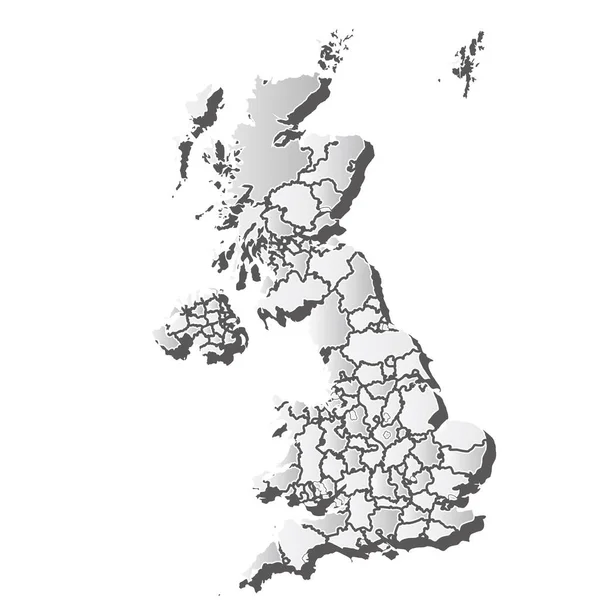
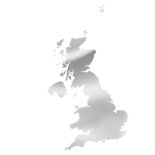
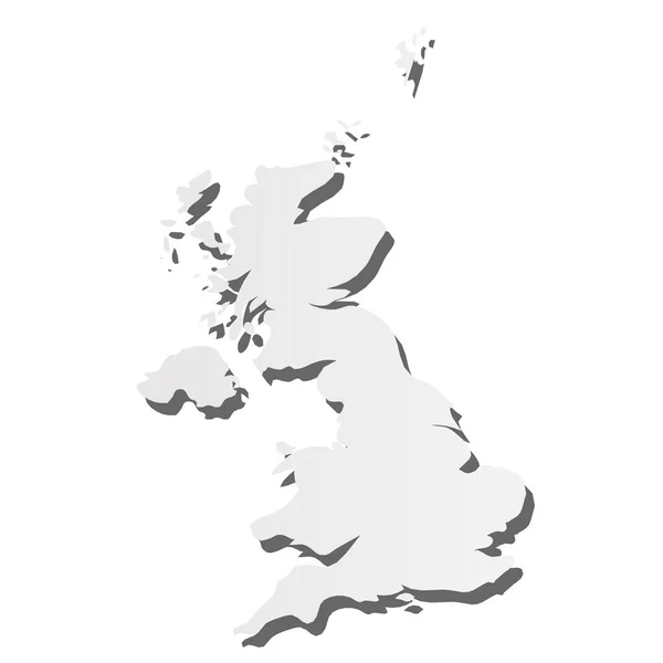
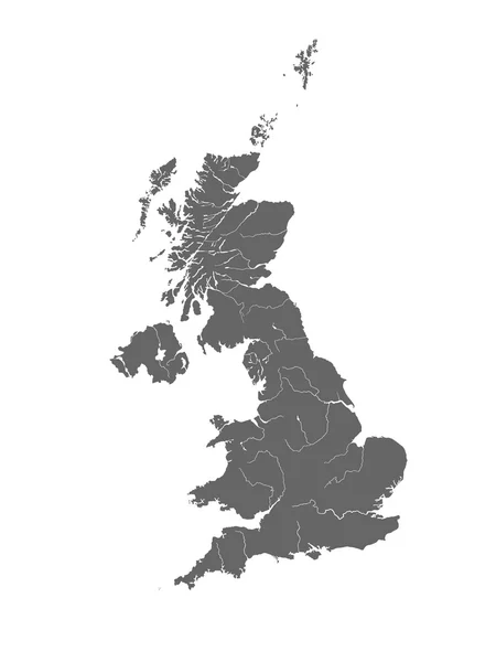
Stock vector United Kingdom of Great Britain and Northern Ireland political map of administrative divisions - counties, unitary authorities and Greater London in England, districts of Northern Ireland, council
Published:
Sep.02, 2024 13:09:10
Author:
pyty
Views:
0
Downloads:
0
File type:
vector
/
eps
File size:
1.38 MB
Orginal size:
10000
x
10000
px
Available sizes:
S
(500 x 500)
M
(1000 x 1000)
L
(2000 x 2000)
XL
(10000 x 10000)
VECT
(10000 x 10000)
EL0
(10000 x 10000)
Level:
silver
Download Vector
Vector topics:
Blue
Vector
Illustration
Label
Border
Flat
Shadow
Gradient
Detailed
Europe
Shade
Name
Country
District
Map
Cartography
Geography
Area
Land
Uk
Unit
State
Sovereign
Boundary
Authority
Government
Political
Administrative
Department
London
Region
Division
British
Federal
Council
Local
Province
Subdivision
County
Borough
Geographical
Regional
Divided
Autonomy
Entity
Autonomous
Unitary
Infographic
Great Britain
United Kingdom
Similar stock vectors
United Kingdom Map Silhouette White Icon
4521 × 4521
Map Of United Kingdom. High Detailed Vector Map - United Kingdom.
5000 × 3500
England Map Silk
4520 × 4520
United Kingdom Of Great Britain And Northern Ireland, UK - Grey 3d-like Silhouette Map Of Country Area With Dropped Shadow. Simple Flat Vector Illustration
6004 × 6004
Map Of The United Kingdom With Rivers.
3750 × 5000
United Kingdom Vector Country Map Silhouette
8000 × 8000
England United Kingdom
5315 × 5315
Plain Map Of The United Kingdom
5000 × 4000